
Search
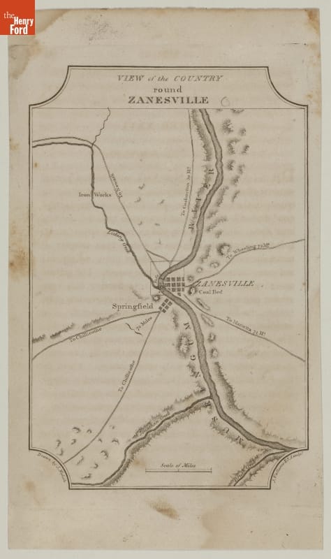
- Map, "View of the Country Round Zanesville," 1812 - This 1812 copper-plate engraving features a map of the area surrounding and the wilderness roads leading to and from Zanesville, Ohio. Zanesville was settled in 1797 where Colonel Ebenezer Zane's frontier road known as "Zane's Trace" crossed the Muskingum River in present-day Ohio.
- 1812
- Collections - Artifact
Map, "View of the Country Round Zanesville," 1812
This 1812 copper-plate engraving features a map of the area surrounding and the wilderness roads leading to and from Zanesville, Ohio. Zanesville was settled in 1797 where Colonel Ebenezer Zane's frontier road known as "Zane's Trace" crossed the Muskingum River in present-day Ohio.
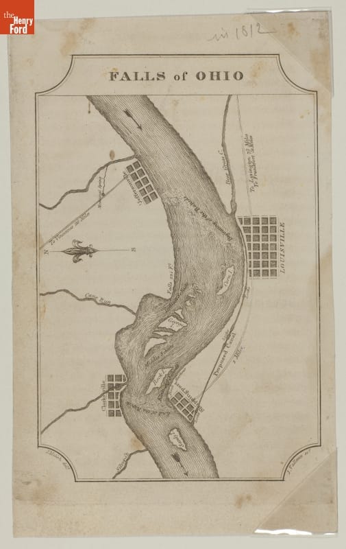
- Map, "Falls of Ohio," 1812 - This 1812 map engraving focuses on the falls of the Ohio River near Louisville, Kentucky. The map features roads in Indiana and Kentucky, and a proposed canal to skirt the falls.
- 1812
- Collections - Artifact
Map, "Falls of Ohio," 1812
This 1812 map engraving focuses on the falls of the Ohio River near Louisville, Kentucky. The map features roads in Indiana and Kentucky, and a proposed canal to skirt the falls.