Search
- 1820 Map of Indiana -
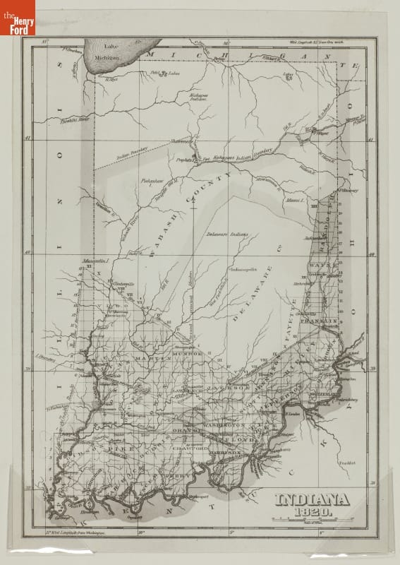
- 1820
- Collections - Artifact
1820 Map of Indiana
- Concept Map, circa 1972 -
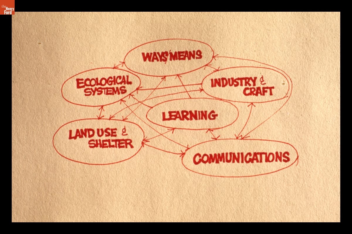
- circa 1972
- Collections - Artifact
Concept Map, circa 1972
- 1817 Map of Indiana -
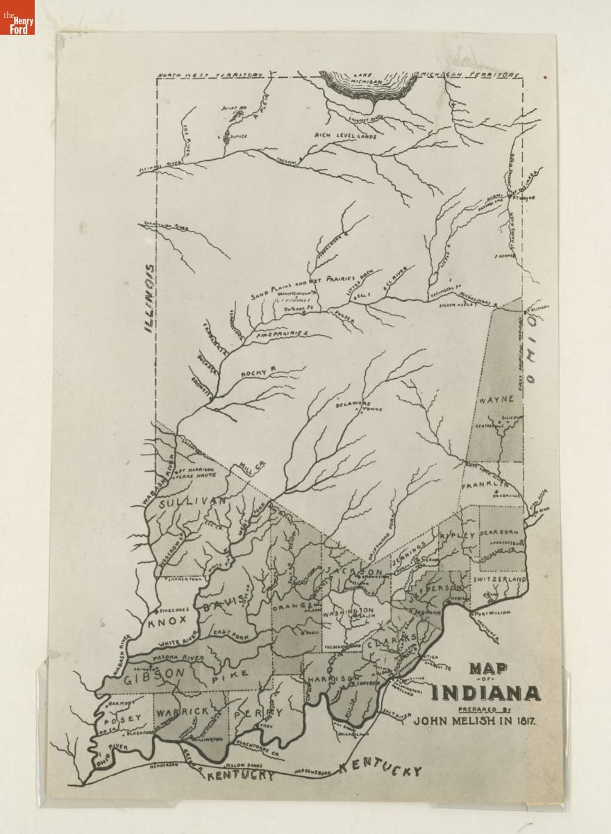
- 1817
- Collections - Artifact
1817 Map of Indiana
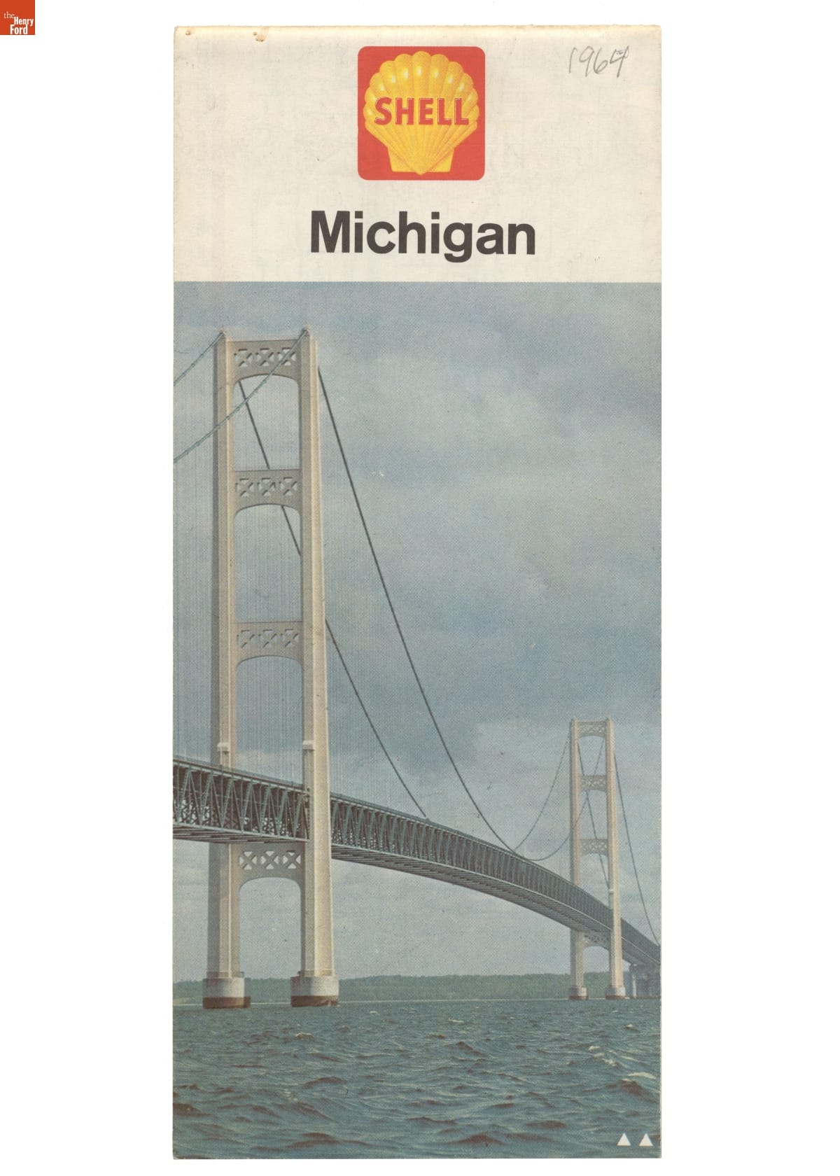
- Road Map of Michigan, 1964 - For many years, gas stations offered free road maps to their customers. Before GPS systems and smart phones, paper maps provided an important service to drivers -- and an effective advertising opportunity for gasoline retailers. Shell produced this Michigan road map, featuring the state's iconic Mackinac Bridge on the cover, in 1964.
- 1964
- Collections - Artifact
Road Map of Michigan, 1964
For many years, gas stations offered free road maps to their customers. Before GPS systems and smart phones, paper maps provided an important service to drivers -- and an effective advertising opportunity for gasoline retailers. Shell produced this Michigan road map, featuring the state's iconic Mackinac Bridge on the cover, in 1964.
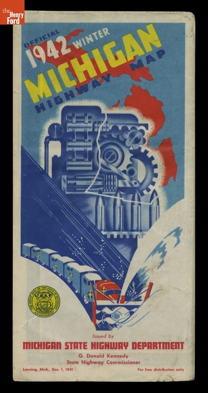
- 1942 Winter Michigan Highway Map - After the federal government established a system of numbered and marked highways in 1926, road maps became more popular. During the 1930s, state governments and local tourism offices realized that road maps stimulated tourism and economic development. This map was produced by the Michigan State Highway Department to highlight both highways and improved roads.
- 1941-1942
- Collections - Artifact
1942 Winter Michigan Highway Map
After the federal government established a system of numbered and marked highways in 1926, road maps became more popular. During the 1930s, state governments and local tourism offices realized that road maps stimulated tourism and economic development. This map was produced by the Michigan State Highway Department to highlight both highways and improved roads.
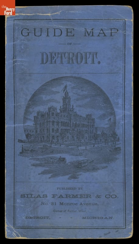
- "Guide Map of Detroit," 1878 -
- 1878
- Collections - Artifact
"Guide Map of Detroit," 1878
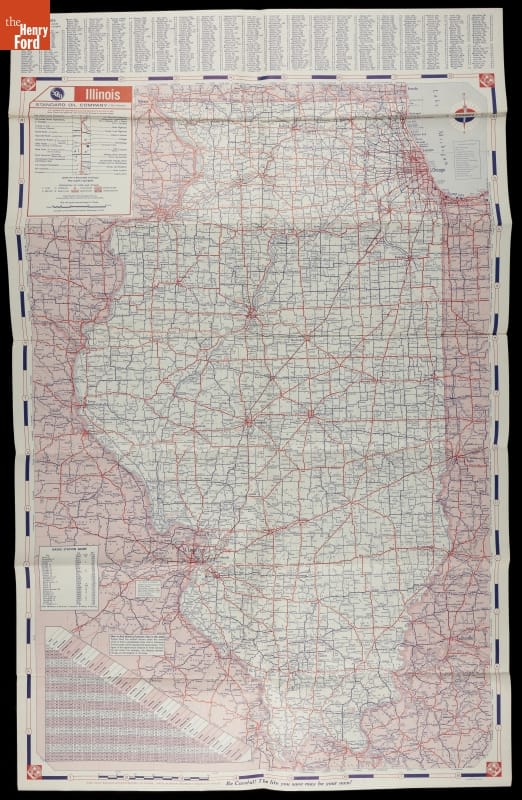
- Illinois Road Map, circa 1955 - Along with the regular automobile service provided by gasoline stations, travelers during the early and mid-20th century could usually find a free road map. Standard Oil supplied this map of Illinois to motorists at their stations.
- circa 1955
- Collections - Artifact
Illinois Road Map, circa 1955
Along with the regular automobile service provided by gasoline stations, travelers during the early and mid-20th century could usually find a free road map. Standard Oil supplied this map of Illinois to motorists at their stations.
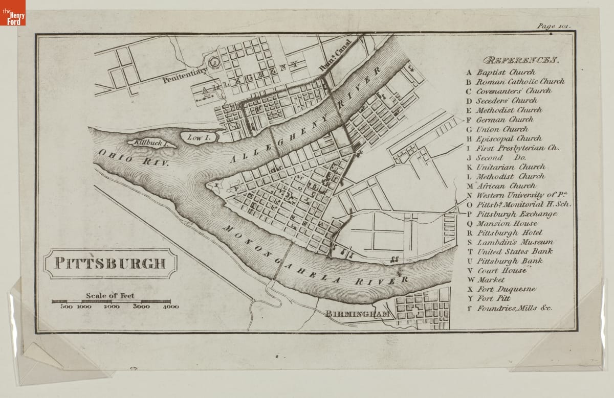
- 1834 Map of Pittsburgh, Pennsylvania -
- 1834
- Collections - Artifact
1834 Map of Pittsburgh, Pennsylvania
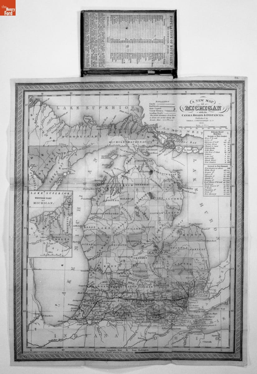
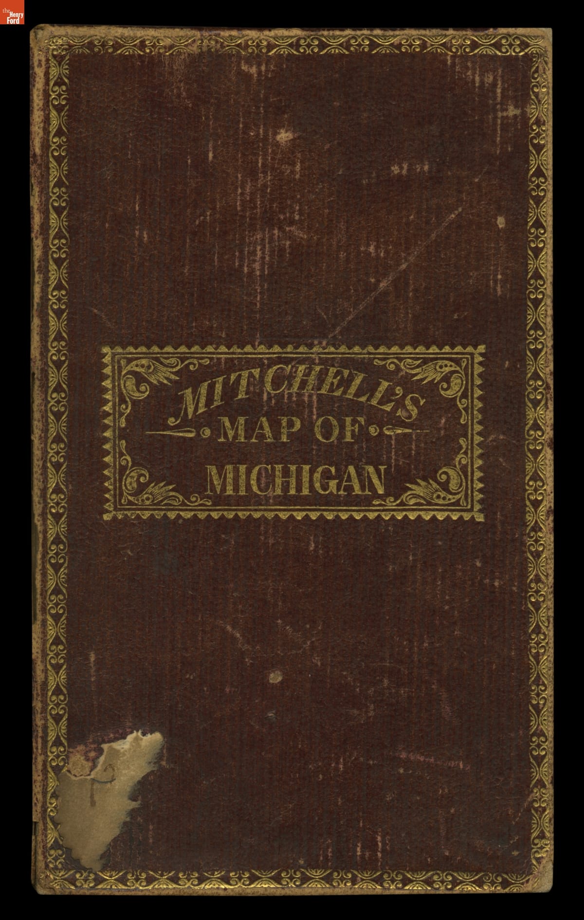
- Mitchell's Map of Michigan, 1850 - This map shows Michigan in 1850, some 13 years after it achieved statehood. Cities were still largely confined to the southern Lower Peninsula. The map also includes major rivers and the state's emerging railroad network. The latter was dominated by the Michigan Central Railroad, running west from Detroit toward Chicago via Ann Arbor, Jackson, Battle Creek, and Kalamazoo.
- 1850
- Collections - Artifact
Mitchell's Map of Michigan, 1850
This map shows Michigan in 1850, some 13 years after it achieved statehood. Cities were still largely confined to the southern Lower Peninsula. The map also includes major rivers and the state's emerging railroad network. The latter was dominated by the Michigan Central Railroad, running west from Detroit toward Chicago via Ann Arbor, Jackson, Battle Creek, and Kalamazoo.
- Mitchell's Map of Michigan, 1835 - This map shows Michigan Territory in 1835, the year it began its campaign for statehood. The process was delayed for two years by a disagreement with Ohio over an area of land referred to as the Toledo Strip. Congress settled the dispute by awarding the strip to Ohio and giving Michigan the western portion of the Upper Peninsula.
- 1835
- Collections - Artifact
Mitchell's Map of Michigan, 1835
This map shows Michigan Territory in 1835, the year it began its campaign for statehood. The process was delayed for two years by a disagreement with Ohio over an area of land referred to as the Toledo Strip. Congress settled the dispute by awarding the strip to Ohio and giving Michigan the western portion of the Upper Peninsula.