Search
- "Chicago Bike Map- Streets for Cycling," Spring, 2001 - Most urban road infrastructure is built for cars, so city traveling can be difficult for cyclists. This roadmap suggests the safest and most convenient routes for cyclists to take in Chicago. It was published jointly by the city of Chicago and a nonprofit bicycle advocacy group.
- 2001
- Collections - Artifact
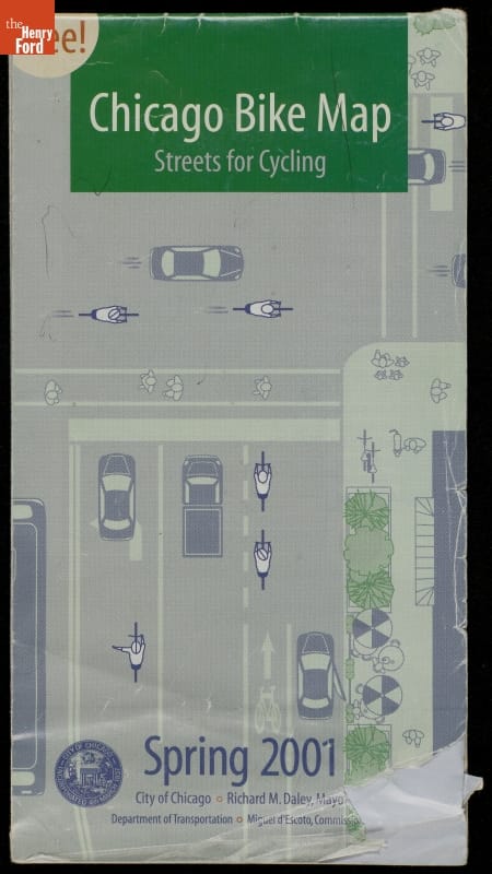
"Chicago Bike Map- Streets for Cycling," Spring, 2001
Most urban road infrastructure is built for cars, so city traveling can be difficult for cyclists. This roadmap suggests the safest and most convenient routes for cyclists to take in Chicago. It was published jointly by the city of Chicago and a nonprofit bicycle advocacy group.
- "Chicago Transit Authority Bus and Rail Map," Summer 2001 - Chicago-area passengers could use this foldout map to find their routes. Chicago's multimodal transit system includes buses and rail. The rail system is called the 'L,' short for "elevated," though the system now includes surface and subway lines.
- 2001
- Collections - Artifact
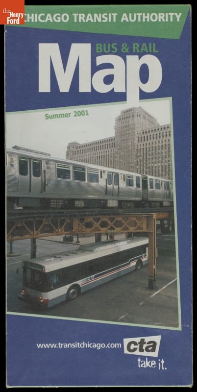
"Chicago Transit Authority Bus and Rail Map," Summer 2001
Chicago-area passengers could use this foldout map to find their routes. Chicago's multimodal transit system includes buses and rail. The rail system is called the 'L,' short for "elevated," though the system now includes surface and subway lines.
- Northwest Territory during the revolution : 1775-1783, 1783-1795 - White American settlers began displacing the Native American inhabitants of the Northwest Territory through forced expulsion in the late 18th century. This map, made many years after the original encounters, depicts the territory north of the Ohio River as nearly devoid of Native peoples during the late 1700s. Images present American leaders in a positive light, while the original occupants are stereotyped as "hostile."
- 1775-1795
- Collections - Artifact
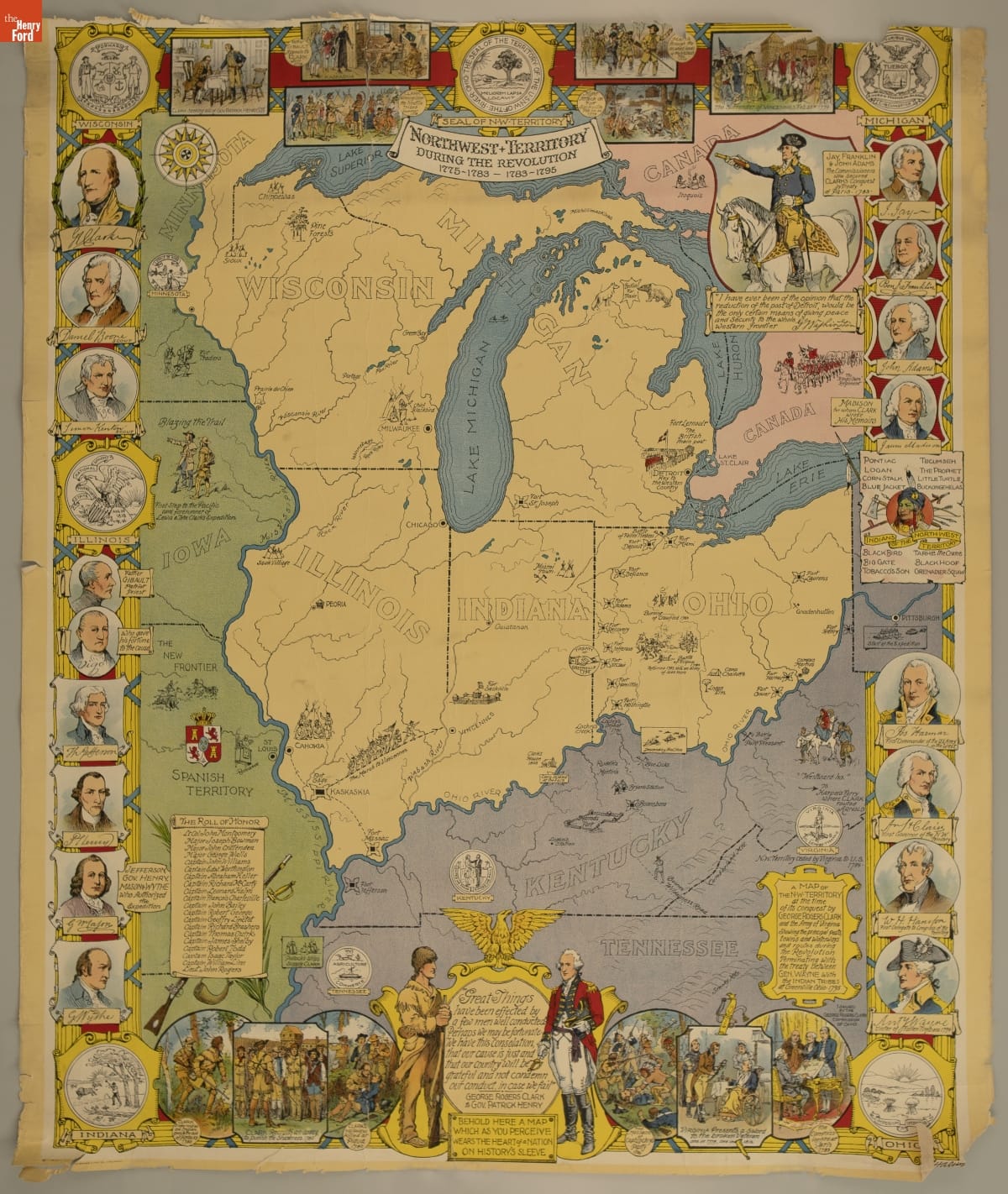
Northwest Territory during the revolution : 1775-1783, 1783-1795
White American settlers began displacing the Native American inhabitants of the Northwest Territory through forced expulsion in the late 18th century. This map, made many years after the original encounters, depicts the territory north of the Ohio River as nearly devoid of Native peoples during the late 1700s. Images present American leaders in a positive light, while the original occupants are stereotyped as "hostile."
- An Improved Map of the United States by Shelton & Kensett, 1813 - This 1813 map is an incredible journey through time to see how Americans saw themselves at the beginning of the War of 1812. From illustrations of naval battles to information on Indigenous nations, the map is chock full of description. It also informs us about what Americans didn't know about the continent in areas that are simply blank.
- 1813
- Collections - Artifact
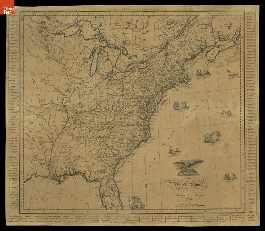
An Improved Map of the United States by Shelton & Kensett, 1813
This 1813 map is an incredible journey through time to see how Americans saw themselves at the beginning of the War of 1812. From illustrations of naval battles to information on Indigenous nations, the map is chock full of description. It also informs us about what Americans didn't know about the continent in areas that are simply blank.
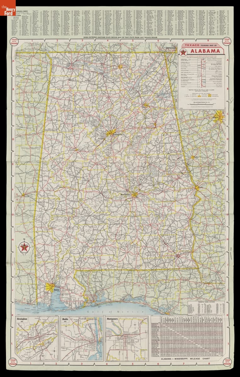
- Map of Alabama with a Special Map of the Southeastern United States, 1960 -
- 1960
- Collections - Artifact
Map of Alabama with a Special Map of the Southeastern United States, 1960
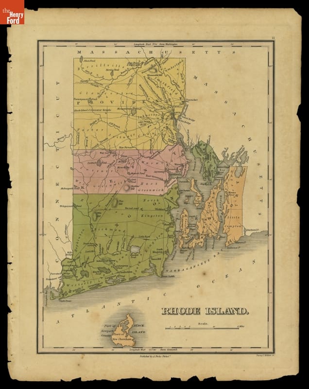
- Map of Rhode Island, 1824 -
- 1824
- Collections - Artifact
Map of Rhode Island, 1824
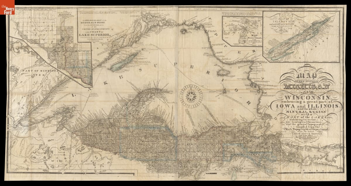
- "Map of the States of Michigan and Wisconsin, Embracing a Great Part of Iowa and Illinois," 1855 - This map shows Michigan's Upper Peninsula as it appeared in 1855. That year, construction crews completed the first lock at Sault Ste. Marie, Michigan, which allowed boats to travel uninterrupted between Lake Superior and the other Great Lakes. The lock made it possible for the state to more fully tap this region's rich copper and iron deposits.
- 1855
- Collections - Artifact
"Map of the States of Michigan and Wisconsin, Embracing a Great Part of Iowa and Illinois," 1855
This map shows Michigan's Upper Peninsula as it appeared in 1855. That year, construction crews completed the first lock at Sault Ste. Marie, Michigan, which allowed boats to travel uninterrupted between Lake Superior and the other Great Lakes. The lock made it possible for the state to more fully tap this region's rich copper and iron deposits.
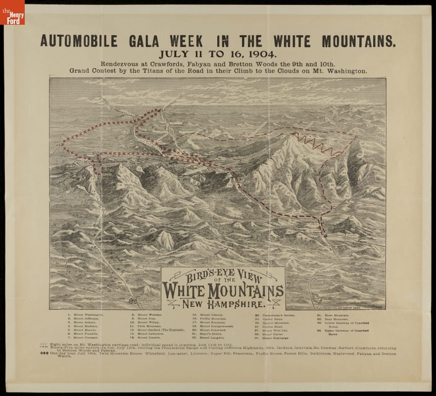
- "Automobile Gala Week in the White Mountains," 1904 -
- 11 July 1904-16 July 1904
- Collections - Artifact
"Automobile Gala Week in the White Mountains," 1904
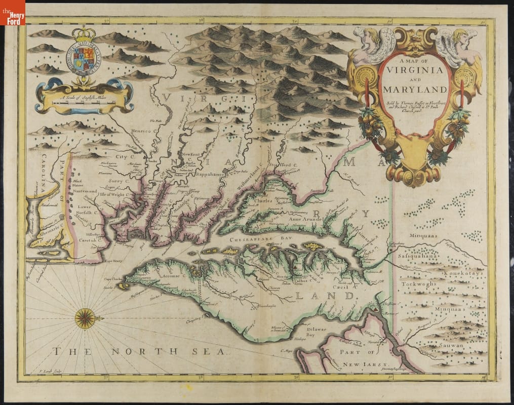
- "A Map of Virginia and Maryland" from John Speed's Atlas, 1676 -
- 1627
- Collections - Artifact
"A Map of Virginia and Maryland" from John Speed's Atlas, 1676
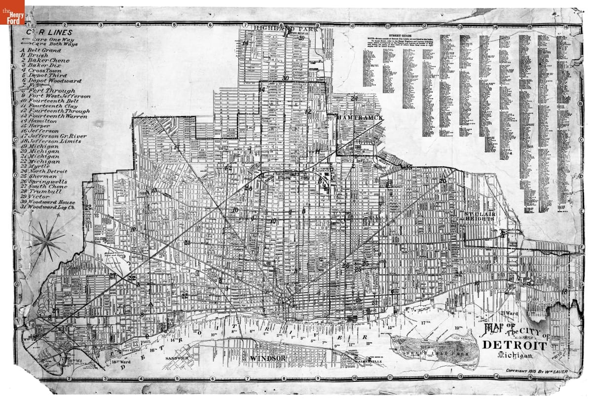
- Street Map of Detroit, Michigan, Copyright by William Sauer, 1915 -
- 1915-1916
- Collections - Artifact
Street Map of Detroit, Michigan, Copyright by William Sauer, 1915