Search
- An Improved Map of the United States by Shelton & Kensett, 1813 - This 1813 map is an incredible journey through time to see how Americans saw themselves at the beginning of the War of 1812. From illustrations of naval battles to information on Indigenous nations, the map is chock full of description. It also informs us about what Americans didn't know about the continent in areas that are simply blank.
- 1813
- Collections - Artifact
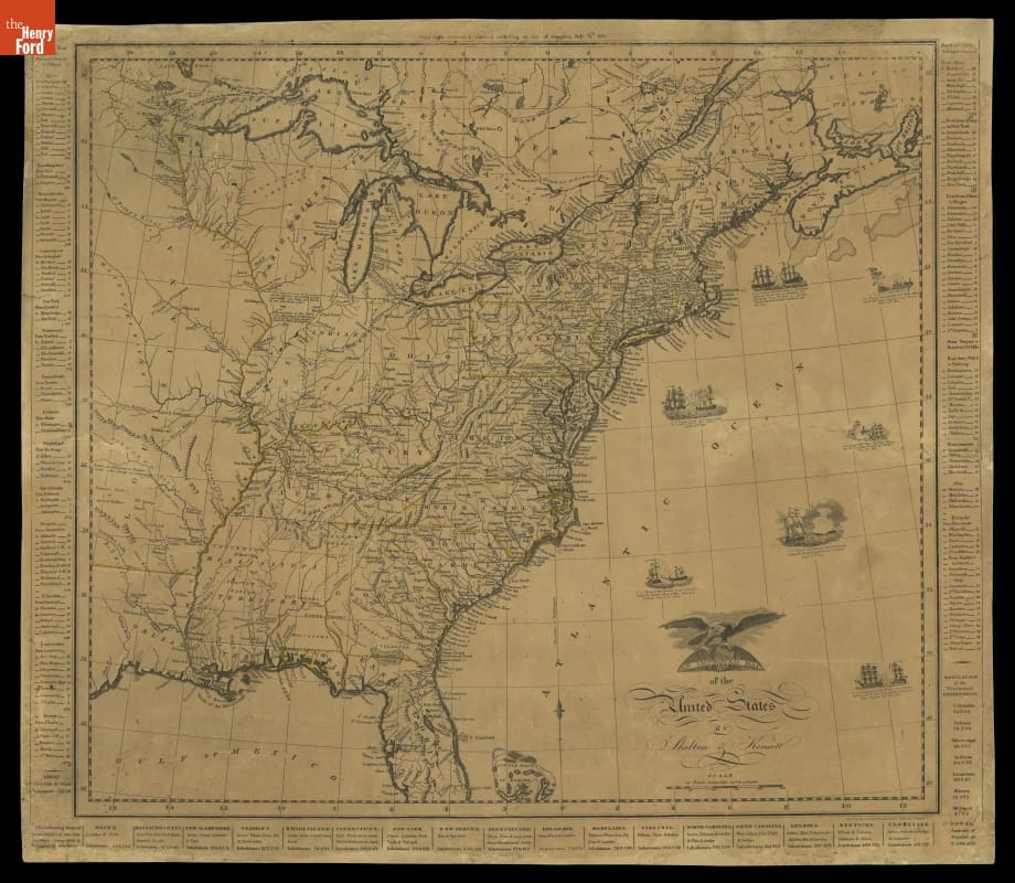
An Improved Map of the United States by Shelton & Kensett, 1813
This 1813 map is an incredible journey through time to see how Americans saw themselves at the beginning of the War of 1812. From illustrations of naval battles to information on Indigenous nations, the map is chock full of description. It also informs us about what Americans didn't know about the continent in areas that are simply blank.
- Map of Rhode Island, 1824 -
- 1824
- Collections - Artifact
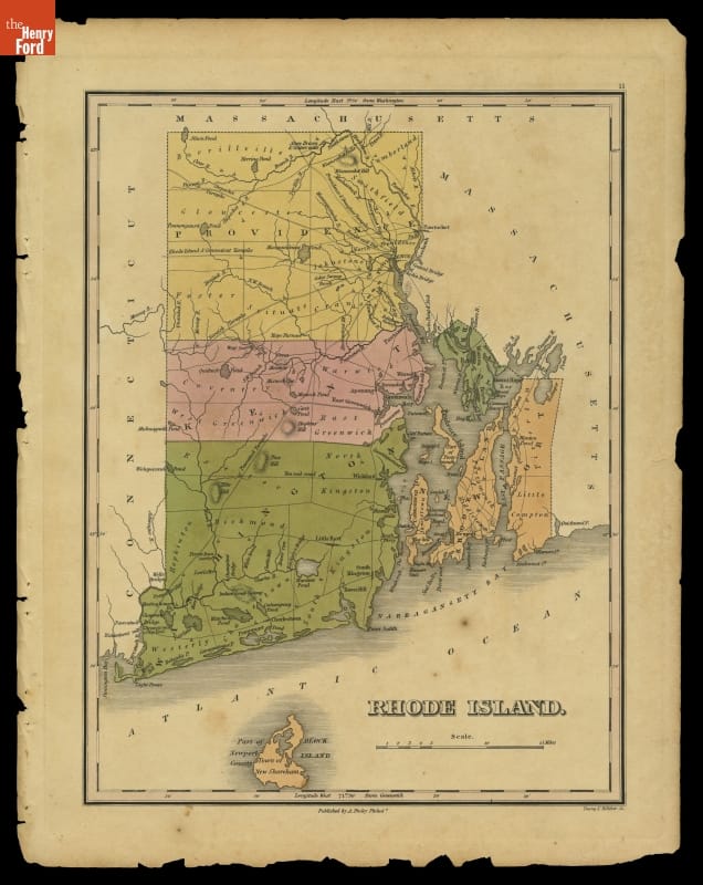
Map of Rhode Island, 1824
- "Map of the States of Michigan and Wisconsin, Embracing a Great Part of Iowa and Illinois," 1855 - This map shows Michigan's Upper Peninsula as it appeared in 1855. That year, construction crews completed the first lock at Sault Ste. Marie, Michigan, which allowed boats to travel uninterrupted between Lake Superior and the other Great Lakes. The lock made it possible for the state to more fully tap this region's rich copper and iron deposits.
- 1855
- Collections - Artifact
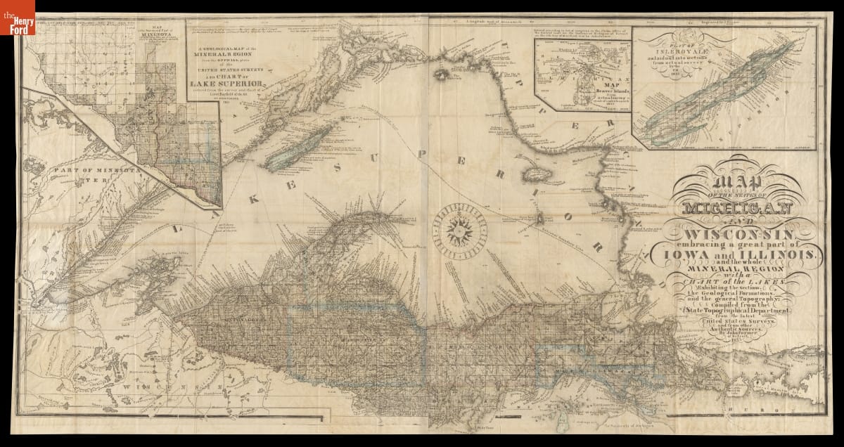
"Map of the States of Michigan and Wisconsin, Embracing a Great Part of Iowa and Illinois," 1855
This map shows Michigan's Upper Peninsula as it appeared in 1855. That year, construction crews completed the first lock at Sault Ste. Marie, Michigan, which allowed boats to travel uninterrupted between Lake Superior and the other Great Lakes. The lock made it possible for the state to more fully tap this region's rich copper and iron deposits.
- "Automobile Gala Week in the White Mountains," 1904 -
- 11 July 1904-16 July 1904
- Collections - Artifact
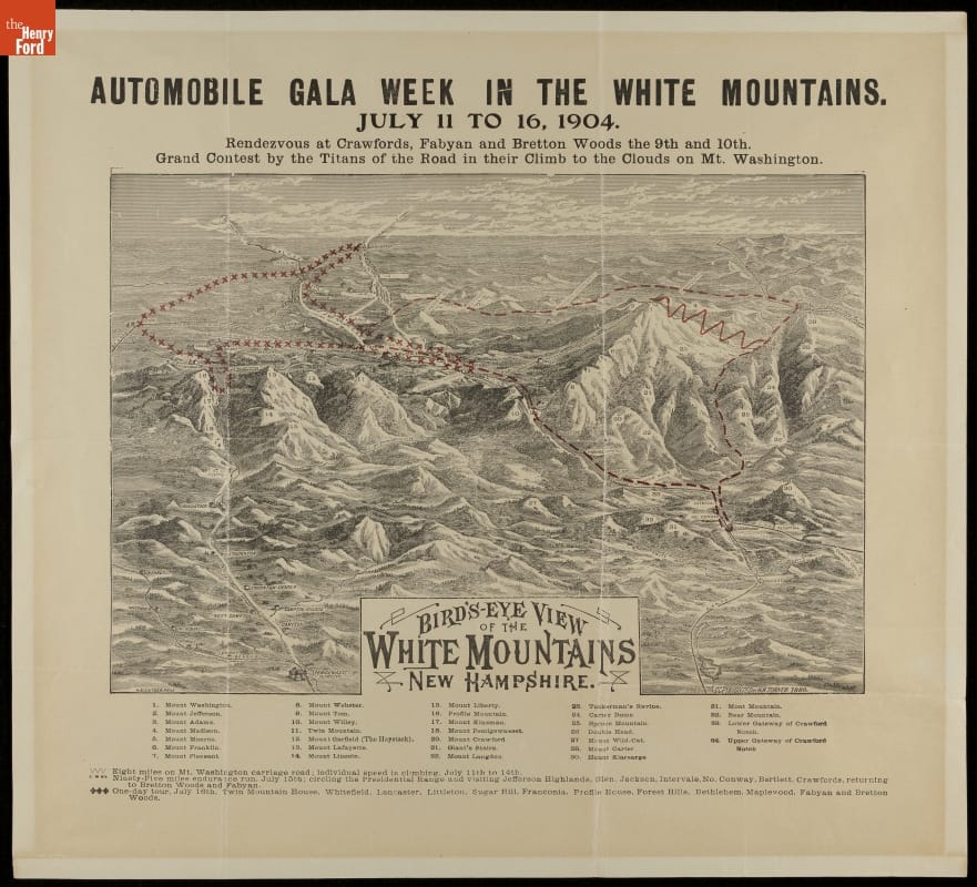
"Automobile Gala Week in the White Mountains," 1904
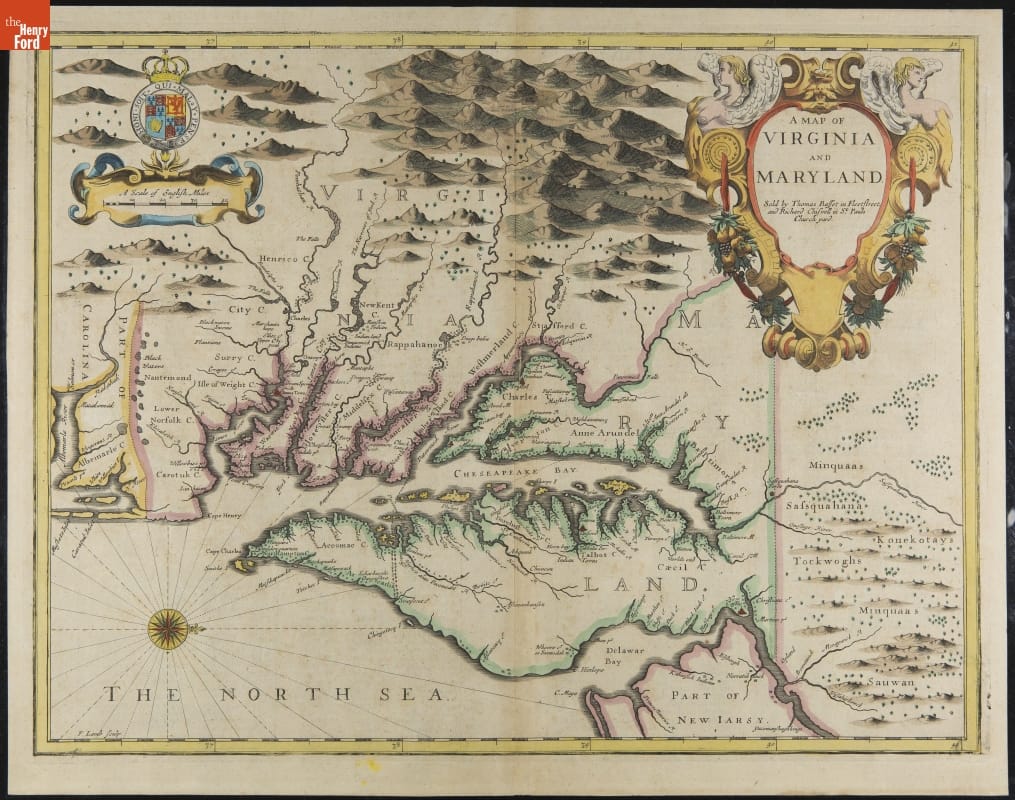
- "A Map of Virginia and Maryland" from John Speed's Atlas, 1676 -
- 1627
- Collections - Artifact
"A Map of Virginia and Maryland" from John Speed's Atlas, 1676
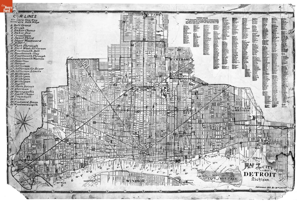
- Street Map of Detroit, Michigan, Copyright by William Sauer, 1915 -
- 1915-1916
- Collections - Artifact
Street Map of Detroit, Michigan, Copyright by William Sauer, 1915
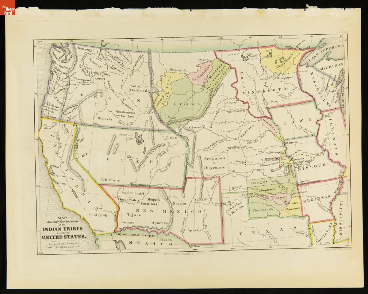
- "Map Showing the Location of the Indian Tribes within the United States," 1852-1853 -
- 1852-1853
- Collections - Artifact
"Map Showing the Location of the Indian Tribes within the United States," 1852-1853
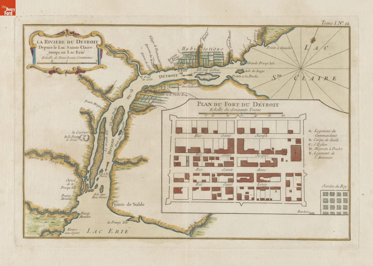
- "La Riviere du Detroit," 1764 -
- 1764
- Collections - Artifact
"La Riviere du Detroit," 1764
- "Die Neuwen Inseln / So hinder Hispanien gegen Orient ven dem land indie ligen," 1550 -
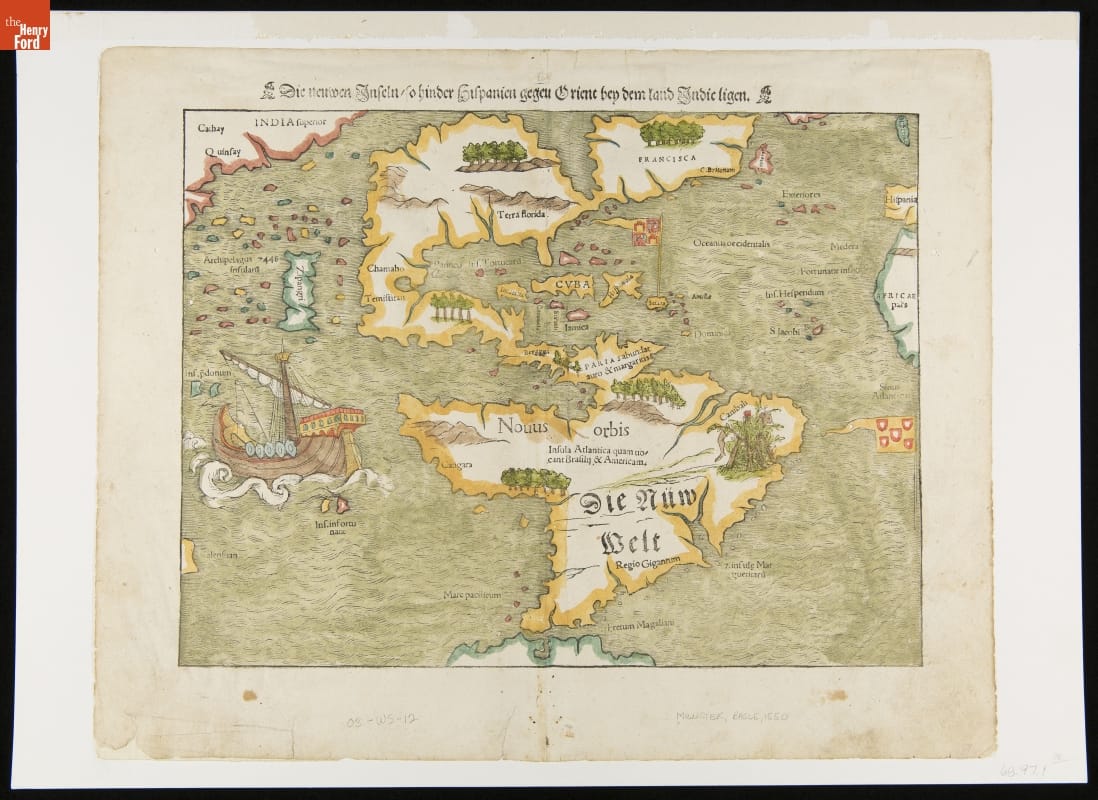
- 1550
- Collections - Artifact
"Die Neuwen Inseln / So hinder Hispanien gegen Orient ven dem land indie ligen," 1550