Search
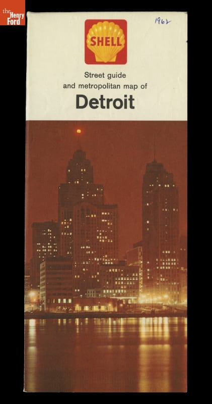
- Street Guide and Metropolitan map of Detroit - By the mid-20th century, progressive Detroit leaders boasted of the city's modern freeway system. The I-375 freeway, the southernmost spur of Detroit's Chrysler Freeway, was marked out on this map with a dotted line. When completed in 1964, this freeway contributed to the almost complete obliteration of the once-thriving African-American neighborhoods of Black Bottom and Paradise Valley.
- 1962
- Collections - Artifact
Street Guide and Metropolitan map of Detroit
By the mid-20th century, progressive Detroit leaders boasted of the city's modern freeway system. The I-375 freeway, the southernmost spur of Detroit's Chrysler Freeway, was marked out on this map with a dotted line. When completed in 1964, this freeway contributed to the almost complete obliteration of the once-thriving African-American neighborhoods of Black Bottom and Paradise Valley.
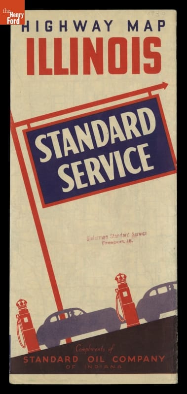
- Standard Service Highway Map of Illinois, Chicago and Vicinity, circa 1939 - Motorists during the early and mid-20th century usually could receive a free road map from local service stations. In 1939, Standard Oil Company provided this highway map to travelers visiting Illinois. This foldout map not only depicts the network of roads in Illinois and several of its key cities, but also provides a road map of the United States.
- circa 1939
- Collections - Artifact
Standard Service Highway Map of Illinois, Chicago and Vicinity, circa 1939
Motorists during the early and mid-20th century usually could receive a free road map from local service stations. In 1939, Standard Oil Company provided this highway map to travelers visiting Illinois. This foldout map not only depicts the network of roads in Illinois and several of its key cities, but also provides a road map of the United States.
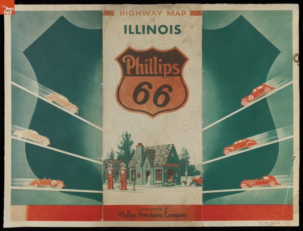
- Phillips Petroleum Company Highway Map of Illinois Phillips 66, 1934 - Motorists during the early and mid-20th century usually could receive a free road map from local service stations. In 1934, Phillips 66 stations provided this state highway map to travelers visiting Illinois. This foldout map not only depicts the network of roads, but also provides a list of state tourist attractions accessible to the motoring public.
- 1934
- Collections - Artifact
Phillips Petroleum Company Highway Map of Illinois Phillips 66, 1934
Motorists during the early and mid-20th century usually could receive a free road map from local service stations. In 1934, Phillips 66 stations provided this state highway map to travelers visiting Illinois. This foldout map not only depicts the network of roads, but also provides a list of state tourist attractions accessible to the motoring public.
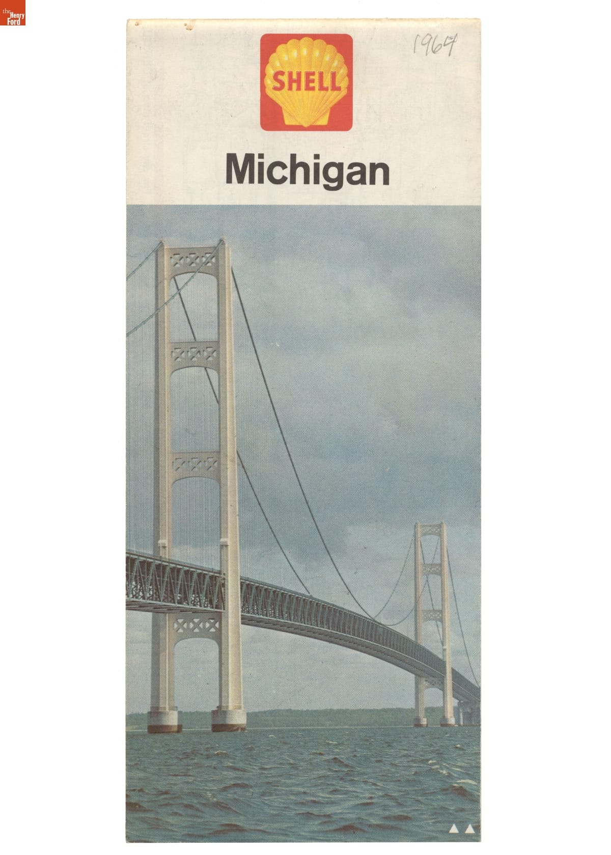
- Road Map of Michigan, 1964 - For many years, gas stations offered free road maps to their customers. Before GPS systems and smart phones, paper maps provided an important service to drivers -- and an effective advertising opportunity for gasoline retailers. Shell produced this Michigan road map, featuring the state's iconic Mackinac Bridge on the cover, in 1964.
- 1964
- Collections - Artifact
Road Map of Michigan, 1964
For many years, gas stations offered free road maps to their customers. Before GPS systems and smart phones, paper maps provided an important service to drivers -- and an effective advertising opportunity for gasoline retailers. Shell produced this Michigan road map, featuring the state's iconic Mackinac Bridge on the cover, in 1964.