Search
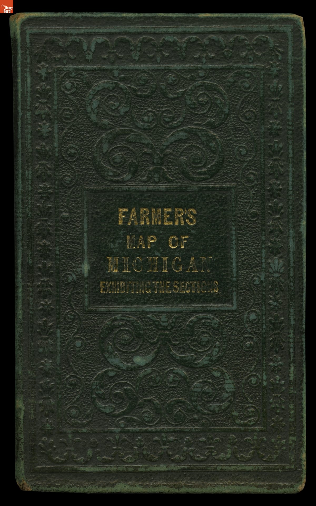
- Farmer's Map of Michigan: Exhibiting the Sections, 1837 - This map shows Michigan in 1837, the year the territory achieved statehood. It presents the southern portion of the Lower Peninsula -- where most cities and towns were located at the time -- in detail, while northern areas including the Upper Peninsula are shown in insets. The important area around the Straits of Mackinac has its own inset as well.
- 1837
- Collections - Artifact
Farmer's Map of Michigan: Exhibiting the Sections, 1837
This map shows Michigan in 1837, the year the territory achieved statehood. It presents the southern portion of the Lower Peninsula -- where most cities and towns were located at the time -- in detail, while northern areas including the Upper Peninsula are shown in insets. The important area around the Straits of Mackinac has its own inset as well.