Search
- Phillips Petroleum Company Highway Map of Illinois Phillips 66, 1934 - Motorists during the early and mid-20th century usually could receive a free road map from local service stations. In 1934, Phillips 66 stations provided this state highway map to travelers visiting Illinois. This foldout map not only depicts the network of roads, but also provides a list of state tourist attractions accessible to the motoring public.
- 1934
- Collections - Artifact
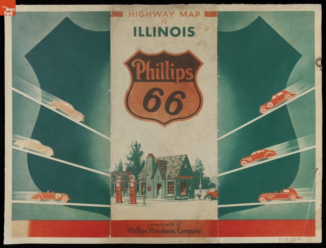
Phillips Petroleum Company Highway Map of Illinois Phillips 66, 1934
Motorists during the early and mid-20th century usually could receive a free road map from local service stations. In 1934, Phillips 66 stations provided this state highway map to travelers visiting Illinois. This foldout map not only depicts the network of roads, but also provides a list of state tourist attractions accessible to the motoring public.