Search
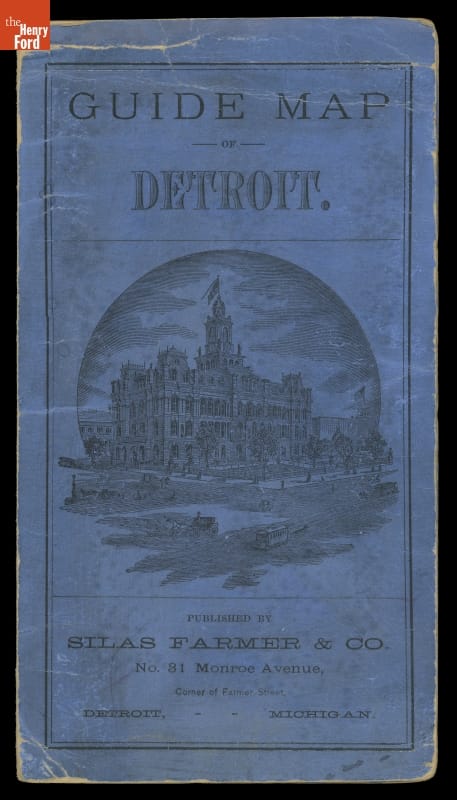
- "Guide Map of Detroit," 1878 -
- 1878
- Collections - Artifact
"Guide Map of Detroit," 1878
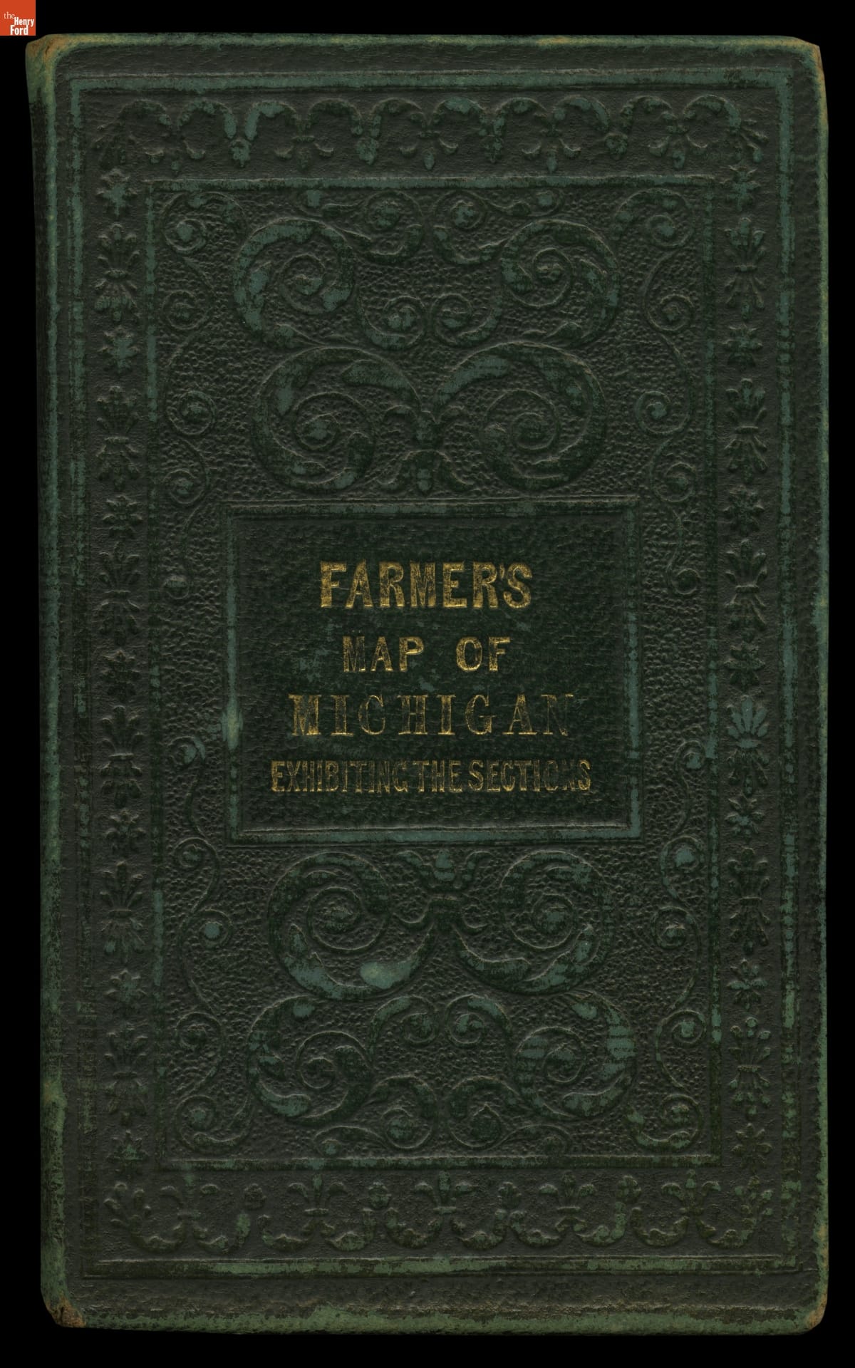
- Farmer's Map of Michigan: Exhibiting the Sections, 1837 - This map shows Michigan in 1837, the year the territory achieved statehood. It presents the southern portion of the Lower Peninsula -- where most cities and towns were located at the time -- in detail, while northern areas including the Upper Peninsula are shown in insets. The important area around the Straits of Mackinac has its own inset as well.
- 1837
- Collections - Artifact
Farmer's Map of Michigan: Exhibiting the Sections, 1837
This map shows Michigan in 1837, the year the territory achieved statehood. It presents the southern portion of the Lower Peninsula -- where most cities and towns were located at the time -- in detail, while northern areas including the Upper Peninsula are shown in insets. The important area around the Straits of Mackinac has its own inset as well.
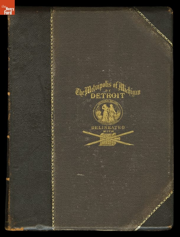
- "History of Detroit and Michigan," 1884 - The author of this book, Silas Farmer, was the son of John Farmer, Detroit's earliest map publisher. Silas began his career working on maps but turned his efforts to writing and compiling a complete history of Detroit, Michigan. A great reference to what life was like in Detroit before the 1900s, historians continue to study this work today.
- 1884
- Collections - Artifact
"History of Detroit and Michigan," 1884
The author of this book, Silas Farmer, was the son of John Farmer, Detroit's earliest map publisher. Silas began his career working on maps but turned his efforts to writing and compiling a complete history of Detroit, Michigan. A great reference to what life was like in Detroit before the 1900s, historians continue to study this work today.