Search
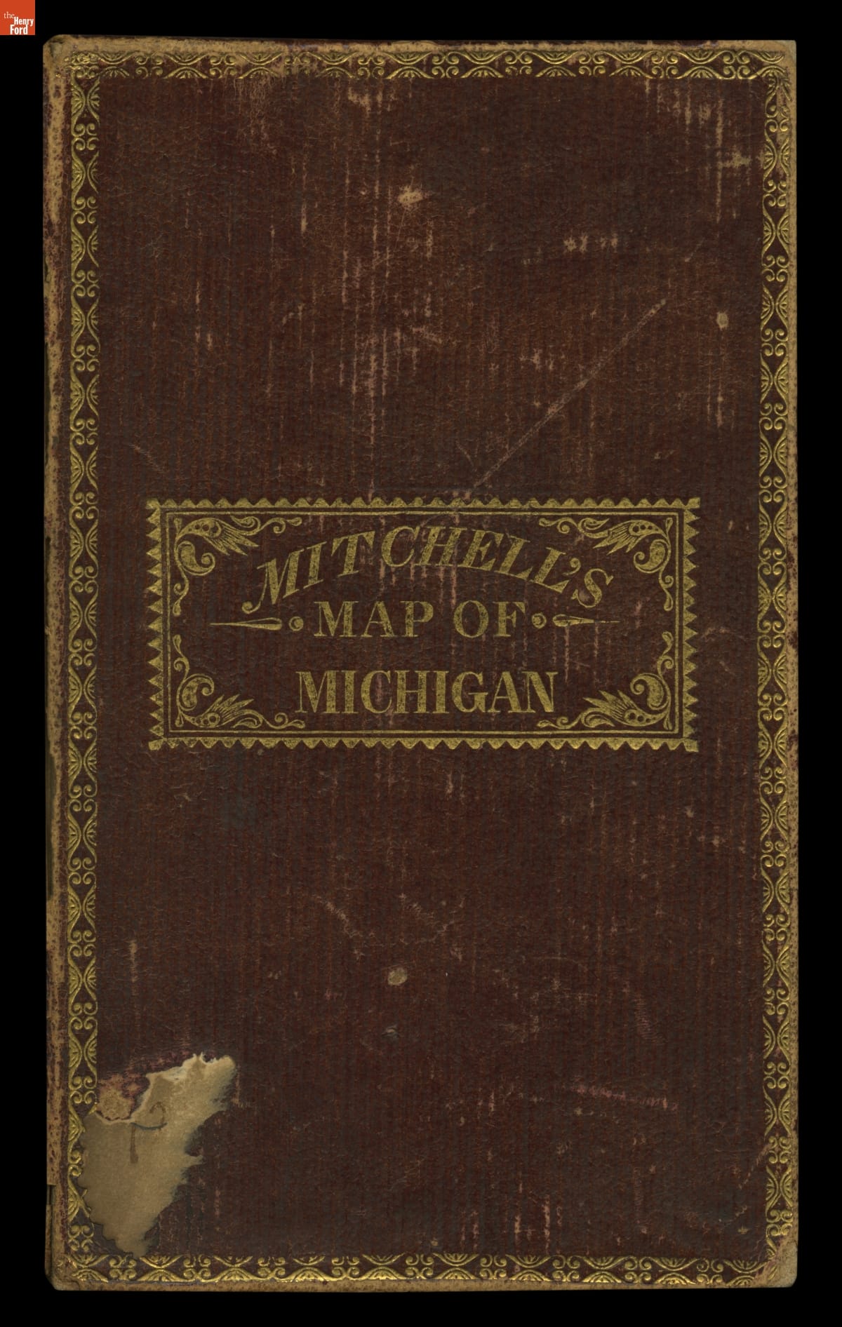
- Mitchell's Map of Michigan, 1835 - This map shows Michigan Territory in 1835, the year it began its campaign for statehood. The process was delayed for two years by a disagreement with Ohio over an area of land referred to as the Toledo Strip. Congress settled the dispute by awarding the strip to Ohio and giving Michigan the western portion of the Upper Peninsula.
- 1835
- Collections - Artifact
Mitchell's Map of Michigan, 1835
This map shows Michigan Territory in 1835, the year it began its campaign for statehood. The process was delayed for two years by a disagreement with Ohio over an area of land referred to as the Toledo Strip. Congress settled the dispute by awarding the strip to Ohio and giving Michigan the western portion of the Upper Peninsula.