Search
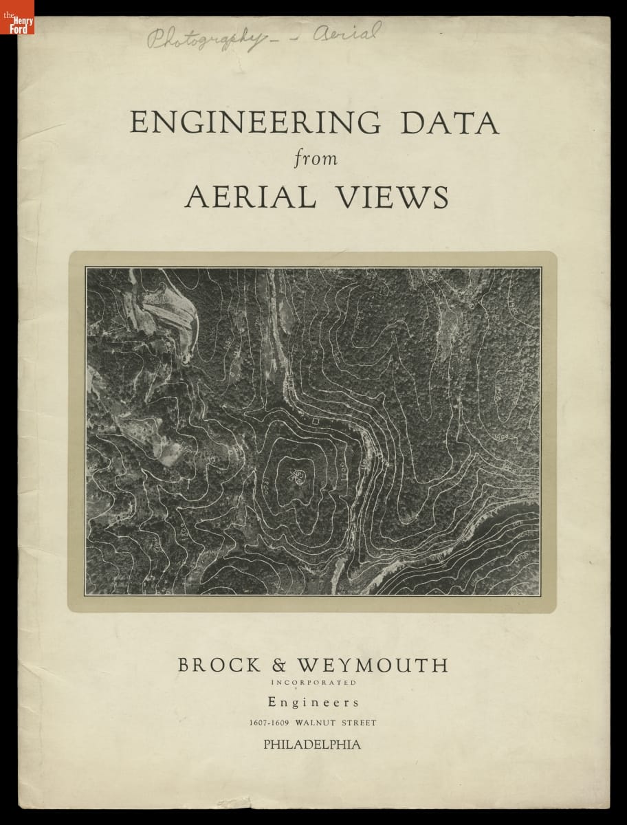
- Engineering Data from Aerial Views, 1925 - Aviation and photographic technology advanced quickly in the years following World War I, creating new possibilities in aerial photography. Manufacturers developed aerial survey cameras with multiple lenses that made overlapping pictures of the ground. Using patented instruments, Brock & Weymouth Engineers transformed these images into topographic maps. These maps became invaluable tools for planning engineering projects.
- 1925
- Collections - Artifact
Engineering Data from Aerial Views, 1925
Aviation and photographic technology advanced quickly in the years following World War I, creating new possibilities in aerial photography. Manufacturers developed aerial survey cameras with multiple lenses that made overlapping pictures of the ground. Using patented instruments, Brock & Weymouth Engineers transformed these images into topographic maps. These maps became invaluable tools for planning engineering projects.