Search
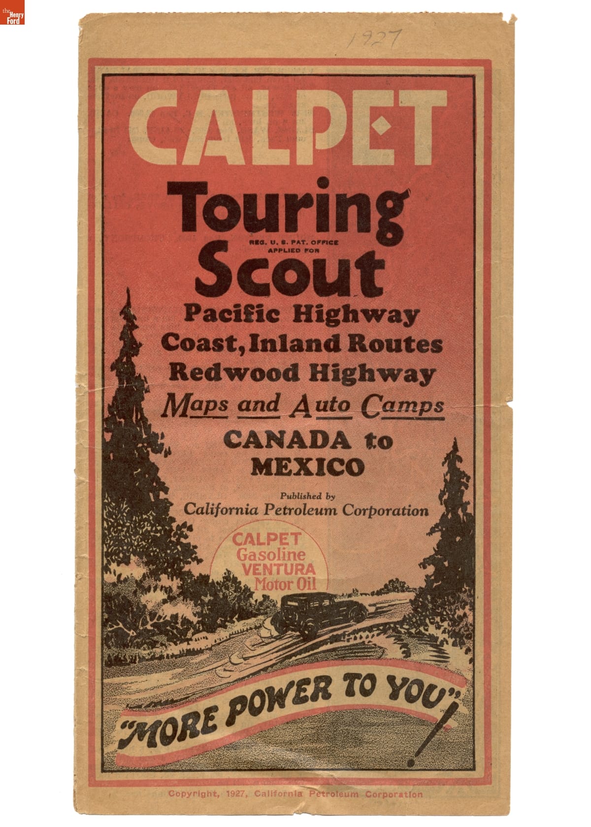
- CALPET Touring Scout: Pacific Highway Coast, Inland Routes, Redwood Highway Maps and Auto Camps, Canada to Mexico, 1927 -
- 1927
- Collections - Artifact
CALPET Touring Scout: Pacific Highway Coast, Inland Routes, Redwood Highway Maps and Auto Camps, Canada to Mexico, 1927
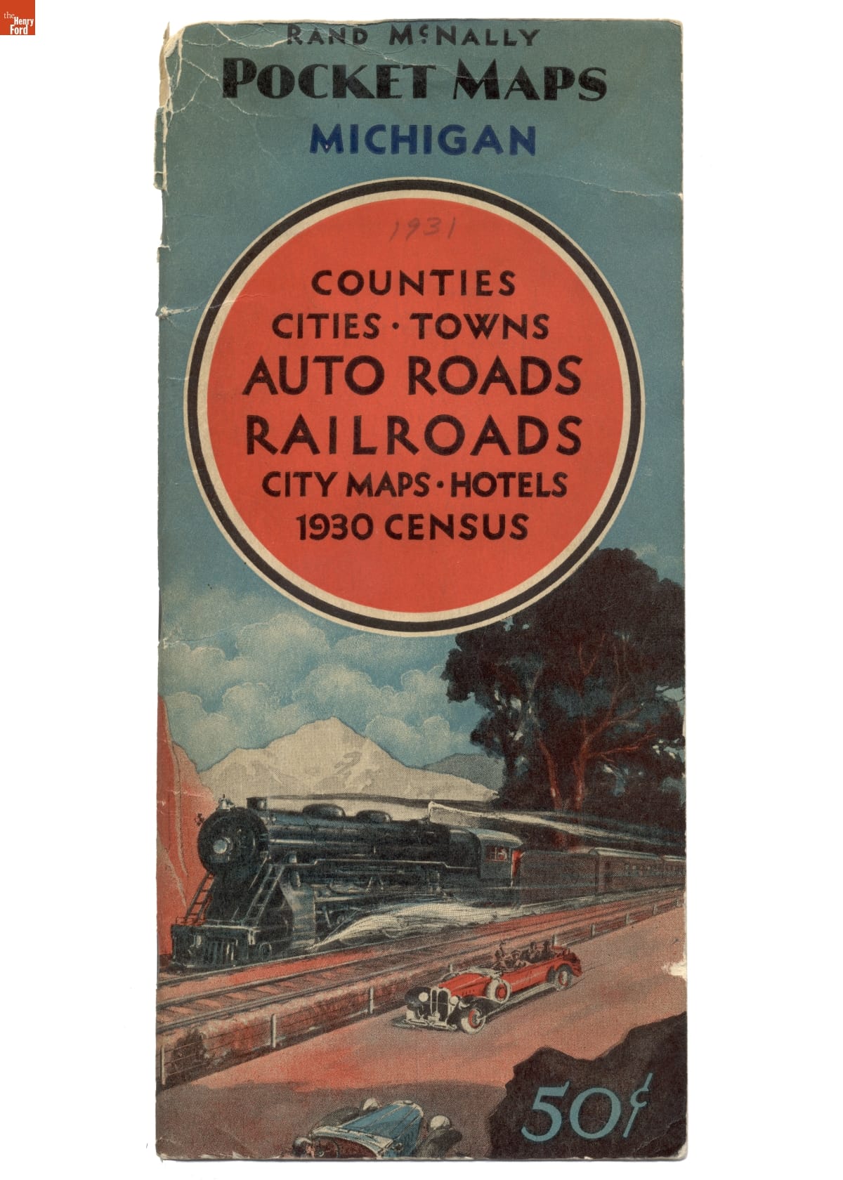
- Rand McNally Pocket Map of Michigan, 1931 - After the federal government established a system of numbered and marked highways in 1926, road maps became more popular. Rand McNally published this pocket map of Michigan's road network in 1931. The map also included railroad lines, hotels, detailed maps of major cities, and population information from the 1930 census.
- 1931
- Collections - Artifact
Rand McNally Pocket Map of Michigan, 1931
After the federal government established a system of numbered and marked highways in 1926, road maps became more popular. Rand McNally published this pocket map of Michigan's road network in 1931. The map also included railroad lines, hotels, detailed maps of major cities, and population information from the 1930 census.
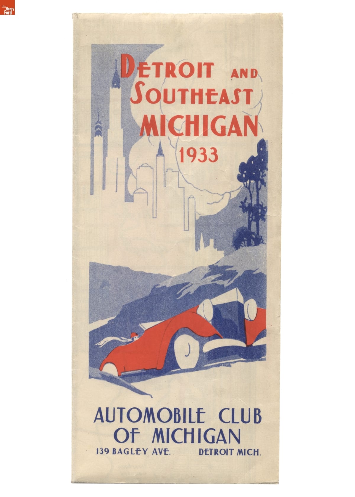
- Road Map for Detroit and Southeast Michigan, 1933 - After the federal government established a system of numbered and marked highways in 1926, road maps became more popular. The Automobile Club of Michigan published this 1933 map of roads in Detroit and surrounding areas in southeast Michigan. Road maps encouraged tourism and economic development.
- 1933
- Collections - Artifact
Road Map for Detroit and Southeast Michigan, 1933
After the federal government established a system of numbered and marked highways in 1926, road maps became more popular. The Automobile Club of Michigan published this 1933 map of roads in Detroit and surrounding areas in southeast Michigan. Road maps encouraged tourism and economic development.
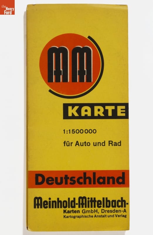
- 1938 Road Map of Germany -
- 1938
- Collections - Artifact
1938 Road Map of Germany
- 1975 New England Road Map with Locations of Diners Indicated -
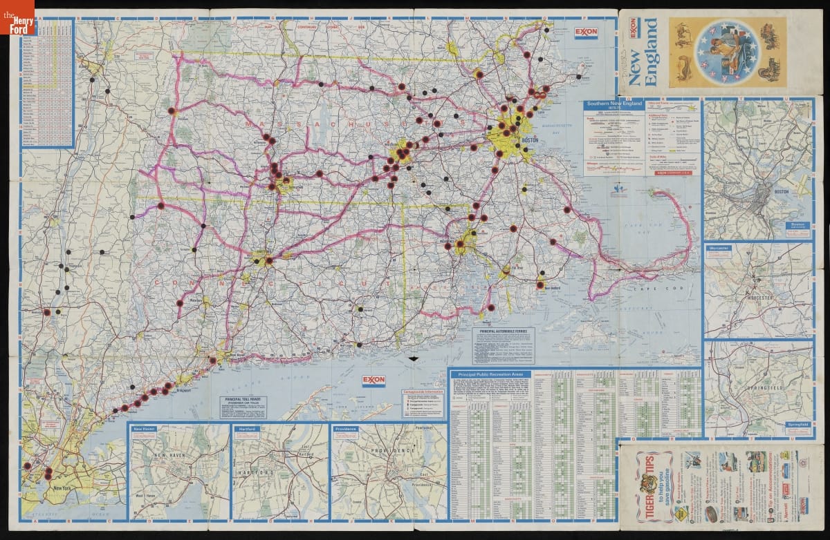
- 1975
- Collections - Artifact
1975 New England Road Map with Locations of Diners Indicated
- "Alabama Official State Map," 1965-1966 -
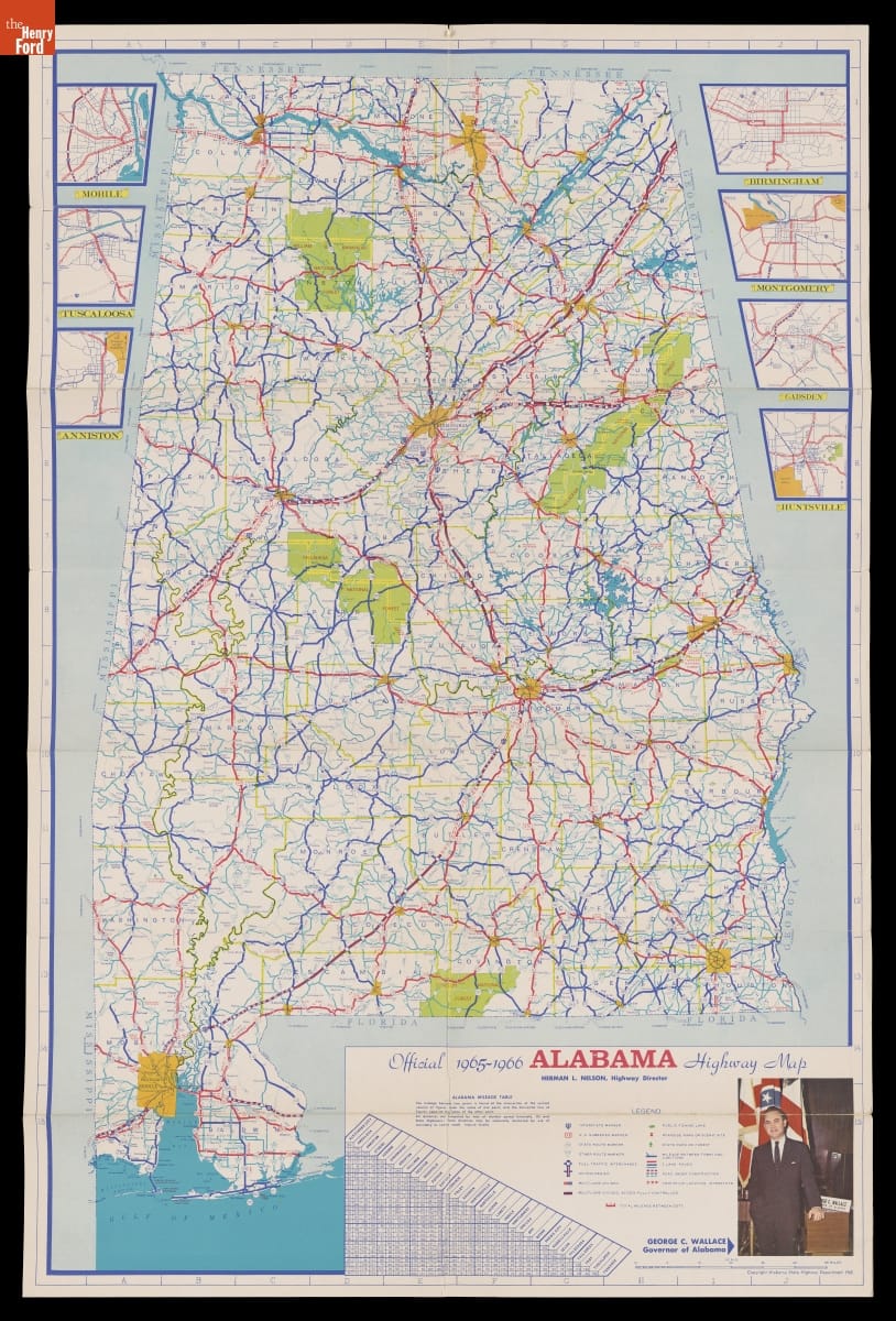
- 1965-1966
- Collections - Artifact
"Alabama Official State Map," 1965-1966
- Map of Alabama with a Special Map of the Southeastern United States, 1960 -
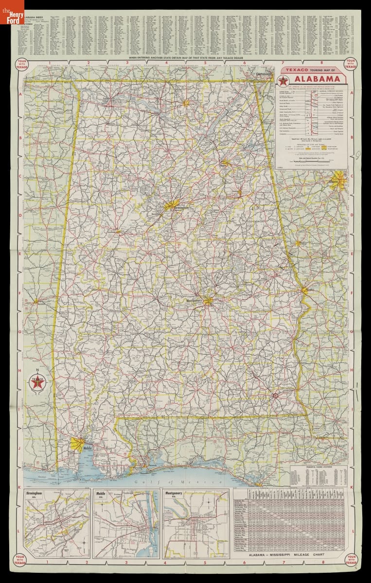
- 1960
- Collections - Artifact
Map of Alabama with a Special Map of the Southeastern United States, 1960
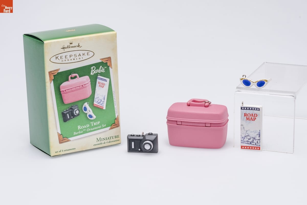
- Hallmark "Barbie: Road Trip" Miniature Christmas Ornaments, 2005 - Already known for greeting cards, Hallmark introduced a line of Christmas ornaments in 1973. The company's annual release of an increasing array of ornaments revolutionized Christmas decorating, appealing to customers' interest in marking memories and milestones as well as expressing one's personality and unique tastes.
- 2005
- Collections - Artifact
Hallmark "Barbie: Road Trip" Miniature Christmas Ornaments, 2005
Already known for greeting cards, Hallmark introduced a line of Christmas ornaments in 1973. The company's annual release of an increasing array of ornaments revolutionized Christmas decorating, appealing to customers' interest in marking memories and milestones as well as expressing one's personality and unique tastes.
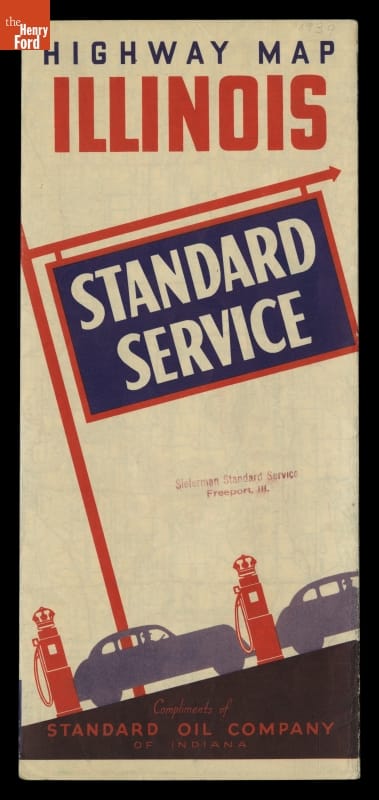
- Standard Service Highway Map of Illinois, Chicago and Vicinity, circa 1939 - Motorists during the early and mid-20th century usually could receive a free road map from local service stations. In 1939, Standard Oil Company provided this highway map to travelers visiting Illinois. This foldout map not only depicts the network of roads in Illinois and several of its key cities, but also provides a road map of the United States.
- circa 1939
- Collections - Artifact
Standard Service Highway Map of Illinois, Chicago and Vicinity, circa 1939
Motorists during the early and mid-20th century usually could receive a free road map from local service stations. In 1939, Standard Oil Company provided this highway map to travelers visiting Illinois. This foldout map not only depicts the network of roads in Illinois and several of its key cities, but also provides a road map of the United States.
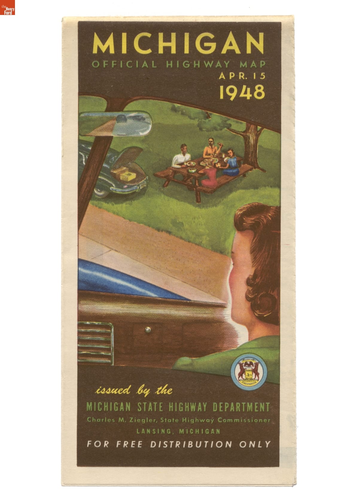
- Michigan Official Highway Map, April 15, 1948 - After the federal government established a system of numbered and marked highways in 1926, road maps became more popular. During the 1930s, state governments and local tourism offices realized that road maps stimulated tourism and economic development. This map was produced by the Michigan State Highway Department to highlight both highways and improved roads.
- April 15, 1948
- Collections - Artifact
Michigan Official Highway Map, April 15, 1948
After the federal government established a system of numbered and marked highways in 1926, road maps became more popular. During the 1930s, state governments and local tourism offices realized that road maps stimulated tourism and economic development. This map was produced by the Michigan State Highway Department to highlight both highways and improved roads.