Search
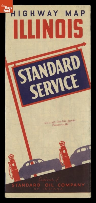
- Standard Service Highway Map of Illinois, Chicago and Vicinity, circa 1939 - Motorists during the early and mid-20th century usually could receive a free road map from local service stations. In 1939, Standard Oil Company provided this highway map to travelers visiting Illinois. This foldout map not only depicts the network of roads in Illinois and several of its key cities, but also provides a road map of the United States.
- circa 1939
- Collections - Artifact
Standard Service Highway Map of Illinois, Chicago and Vicinity, circa 1939
Motorists during the early and mid-20th century usually could receive a free road map from local service stations. In 1939, Standard Oil Company provided this highway map to travelers visiting Illinois. This foldout map not only depicts the network of roads in Illinois and several of its key cities, but also provides a road map of the United States.