Search
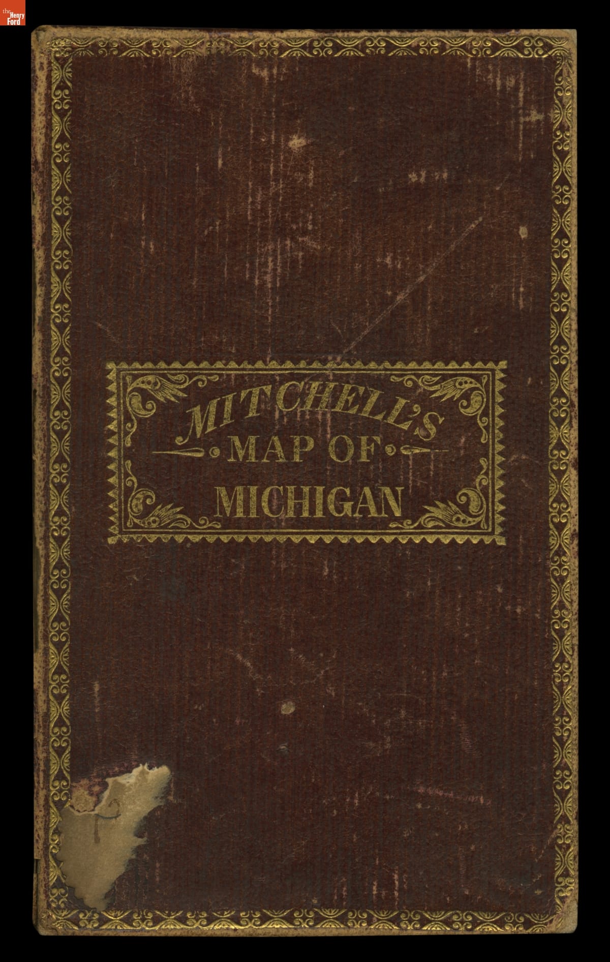
- Mitchell's Map of Michigan, 1835 - This map shows Michigan Territory in 1835, the year it began its campaign for statehood. The process was delayed for two years by a disagreement with Ohio over an area of land referred to as the Toledo Strip. Congress settled the dispute by awarding the strip to Ohio and giving Michigan the western portion of the Upper Peninsula.
- 1835
- Collections - Artifact
Mitchell's Map of Michigan, 1835
This map shows Michigan Territory in 1835, the year it began its campaign for statehood. The process was delayed for two years by a disagreement with Ohio over an area of land referred to as the Toledo Strip. Congress settled the dispute by awarding the strip to Ohio and giving Michigan the western portion of the Upper Peninsula.
- Letter from George B. Porter to Robert Lucas, March 15, 1834 -
- March 15, 1834
- Collections - Artifact
Letter from George B. Porter to Robert Lucas, March 15, 1834
- Letter from Andrew Jackson to Thomas Cooper, 1818 -
- August 24, 1818
- Collections - Artifact
Letter from Andrew Jackson to Thomas Cooper, 1818
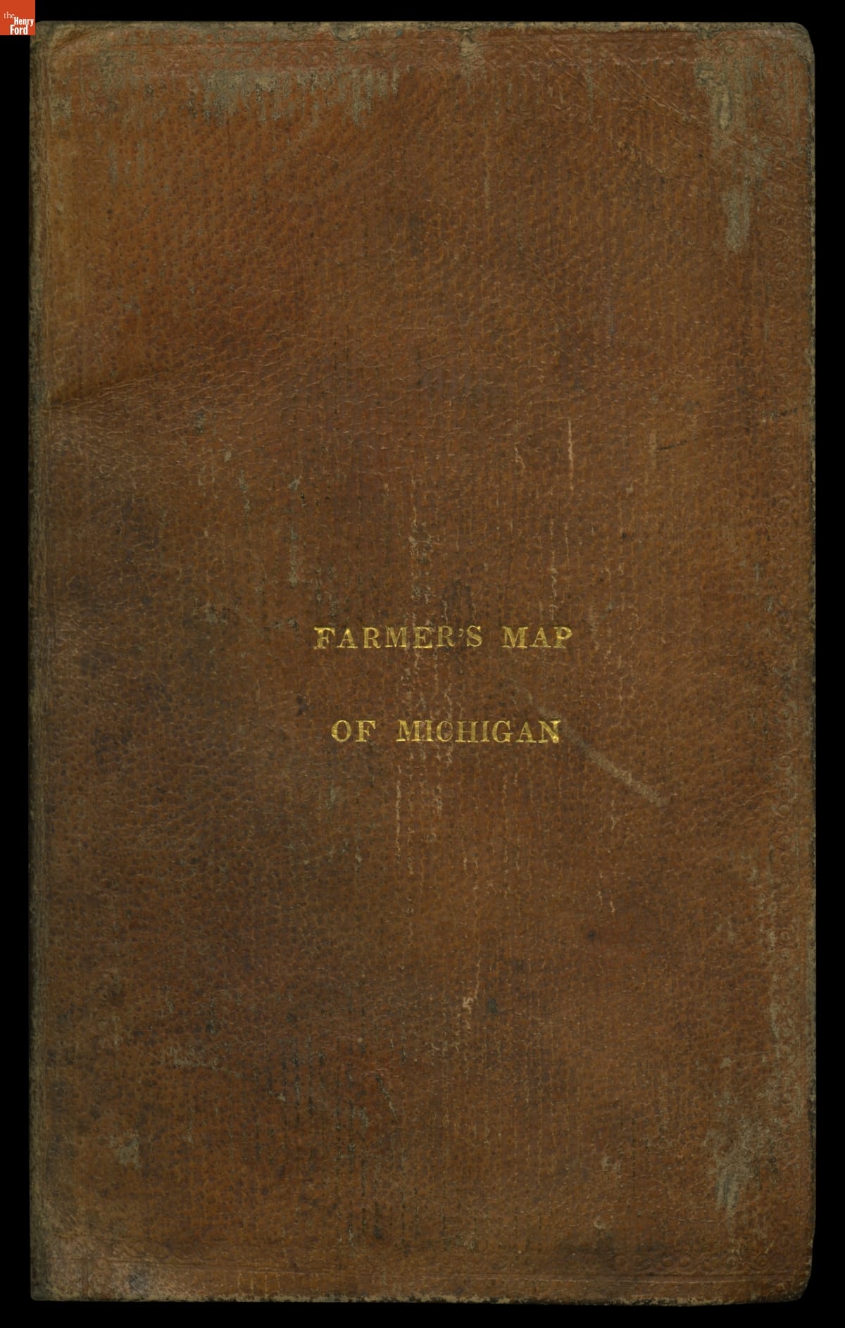
- Farmer's Map of Michigan, 1831 - This map shows Michigan Territory in 1831, six years before it became the 26th state. Michigan's population growth had been slow until the opening of the Erie Canal in 1825. The canal connected the Great Lakes with the Hudson River, greatly easing the movement of people and goods between Michigan and the big cities of the northeastern United States.
- 1831
- Collections - Artifact
Farmer's Map of Michigan, 1831
This map shows Michigan Territory in 1831, six years before it became the 26th state. Michigan's population growth had been slow until the opening of the Erie Canal in 1825. The canal connected the Great Lakes with the Hudson River, greatly easing the movement of people and goods between Michigan and the big cities of the northeastern United States.
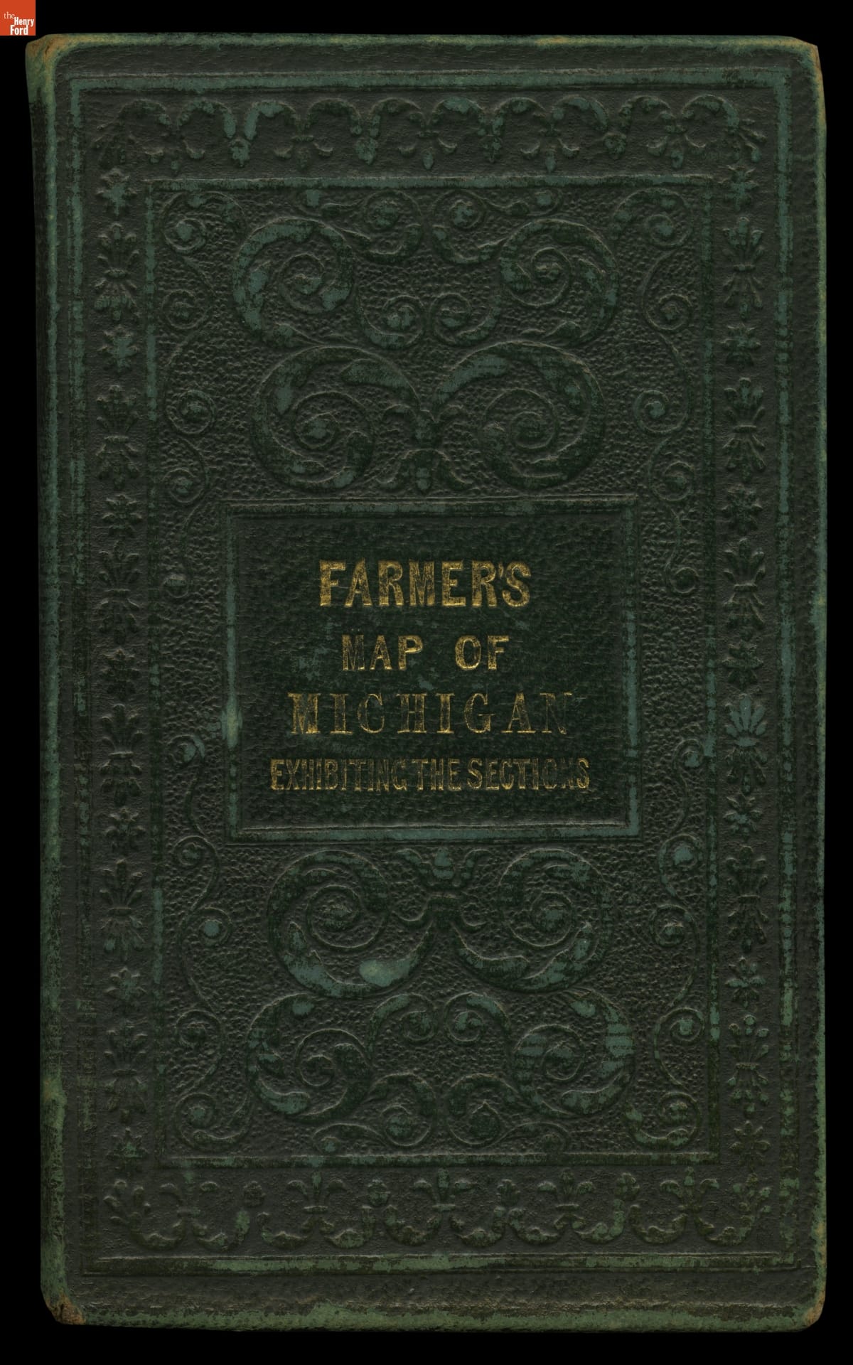
- Farmer's Map of Michigan: Exhibiting the Sections, 1837 - This map shows Michigan in 1837, the year the territory achieved statehood. It presents the southern portion of the Lower Peninsula -- where most cities and towns were located at the time -- in detail, while northern areas including the Upper Peninsula are shown in insets. The important area around the Straits of Mackinac has its own inset as well.
- 1837
- Collections - Artifact
Farmer's Map of Michigan: Exhibiting the Sections, 1837
This map shows Michigan in 1837, the year the territory achieved statehood. It presents the southern portion of the Lower Peninsula -- where most cities and towns were located at the time -- in detail, while northern areas including the Upper Peninsula are shown in insets. The important area around the Straits of Mackinac has its own inset as well.
- "The 1950 Lincoln Presidential Limousine in India" Clip from Interview with Clint Hill, 2013 - Clint Hill was sworn in as a Special Agent with the United States Secret Service in 1958. Over the course of his 17-year career, Hill served Presidents Dwight D. Eisenhower, John F. Kennedy, Lyndon B. Johnson, Richard M. Nixon, and Gerald R. Ford. Hill retired as Assistant Director of the Secret Service, responsible for all protective forces, in 1975.
- November 19, 2013
- Collections - Artifact
"The 1950 Lincoln Presidential Limousine in India" Clip from Interview with Clint Hill, 2013
Clint Hill was sworn in as a Special Agent with the United States Secret Service in 1958. Over the course of his 17-year career, Hill served Presidents Dwight D. Eisenhower, John F. Kennedy, Lyndon B. Johnson, Richard M. Nixon, and Gerald R. Ford. Hill retired as Assistant Director of the Secret Service, responsible for all protective forces, in 1975.
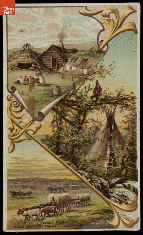
- Trade Card for Ariosa Coffee, Arbuckle Bros., "Indian Territory and Oklahoma," 1892 - As color printing gained momentum in the late 19th century, trade cards were a major means of advertising goods and services. Americans enjoyed and often saved the vibrant little advertisements found in product packages or distributed by local merchants. This trade card for Arbuckle Bros. Coffee Company provides information about its Ariosa coffee and features a colorful image in a series depicting the United States and its territories.
- 1892
- Collections - Artifact
Trade Card for Ariosa Coffee, Arbuckle Bros., "Indian Territory and Oklahoma," 1892
As color printing gained momentum in the late 19th century, trade cards were a major means of advertising goods and services. Americans enjoyed and often saved the vibrant little advertisements found in product packages or distributed by local merchants. This trade card for Arbuckle Bros. Coffee Company provides information about its Ariosa coffee and features a colorful image in a series depicting the United States and its territories.
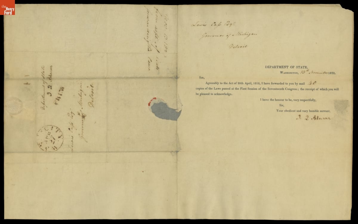
- Letter from John Quincy Adams to Lewis Cass, November 13, 1822, Delivering Copies of the Act of 20th April 1818 -
- November 13, 1822
- Collections - Artifact
Letter from John Quincy Adams to Lewis Cass, November 13, 1822, Delivering Copies of the Act of 20th April 1818
- Letter from Andrew Jackson to George Gibson, 1819 -
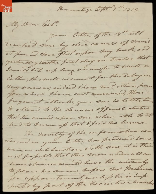
- September 08, 1819
- Collections - Artifact
Letter from Andrew Jackson to George Gibson, 1819
- QSL Card from 9M6DH (Ken Halsall, Labuan, Malaysia) to W6DQZ (Hamid Durmisevich, Los Angeles, California), September 11, 1965 - It was customary for ham radio operators (hams) to exchange these "QSL cards" with one another through the mail after their first conversation. Long-time hams amassed collections of thousands of cards, some from far-flung places. There is a story embedded in each example: the ham's call sign dominates the design, with additional details about location, reception reports, and weather conditions.

- September 11, 1965
- Collections - Artifact
QSL Card from 9M6DH (Ken Halsall, Labuan, Malaysia) to W6DQZ (Hamid Durmisevich, Los Angeles, California), September 11, 1965
It was customary for ham radio operators (hams) to exchange these "QSL cards" with one another through the mail after their first conversation. Long-time hams amassed collections of thousands of cards, some from far-flung places. There is a story embedded in each example: the ham's call sign dominates the design, with additional details about location, reception reports, and weather conditions.