Search
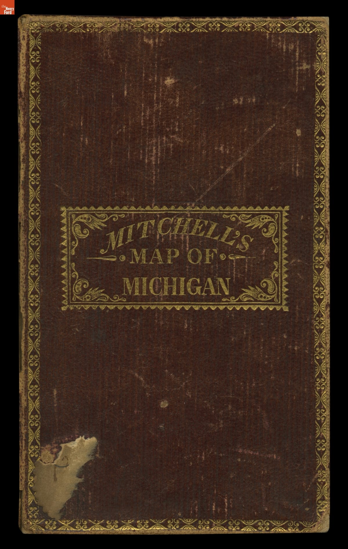
- Mitchell's Map of Michigan, 1835 - This map shows Michigan Territory in 1835, the year it began its campaign for statehood. The process was delayed for two years by a disagreement with Ohio over an area of land referred to as the Toledo Strip. Congress settled the dispute by awarding the strip to Ohio and giving Michigan the western portion of the Upper Peninsula.
- 1835
- Collections - Artifact
Mitchell's Map of Michigan, 1835
This map shows Michigan Territory in 1835, the year it began its campaign for statehood. The process was delayed for two years by a disagreement with Ohio over an area of land referred to as the Toledo Strip. Congress settled the dispute by awarding the strip to Ohio and giving Michigan the western portion of the Upper Peninsula.
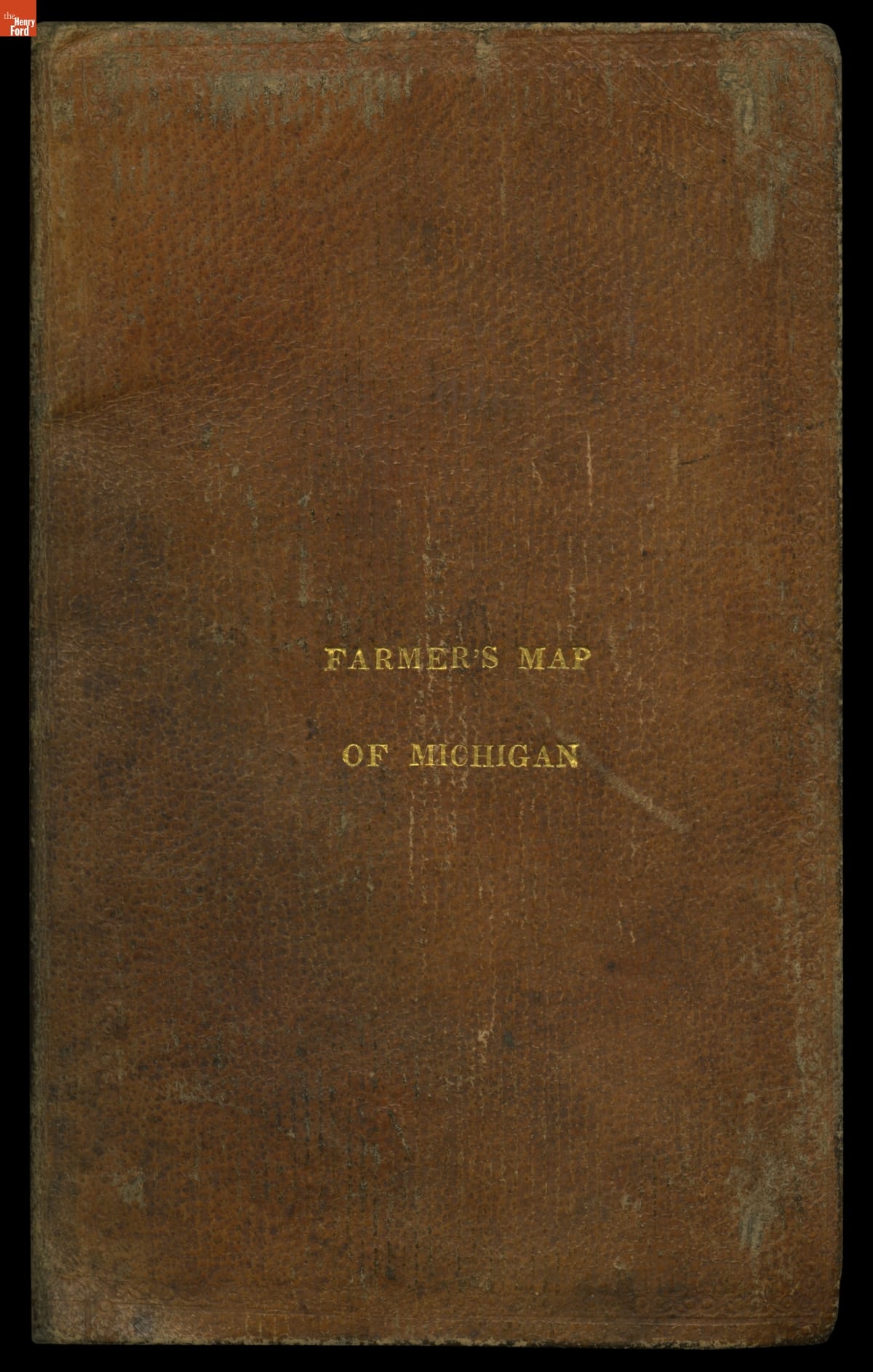
- Farmer's Map of Michigan, 1831 - This map shows Michigan Territory in 1831, six years before it became the 26th state. Michigan's population growth had been slow until the opening of the Erie Canal in 1825. The canal connected the Great Lakes with the Hudson River, greatly easing the movement of people and goods between Michigan and the big cities of the northeastern United States.
- 1831
- Collections - Artifact
Farmer's Map of Michigan, 1831
This map shows Michigan Territory in 1831, six years before it became the 26th state. Michigan's population growth had been slow until the opening of the Erie Canal in 1825. The canal connected the Great Lakes with the Hudson River, greatly easing the movement of people and goods between Michigan and the big cities of the northeastern United States.
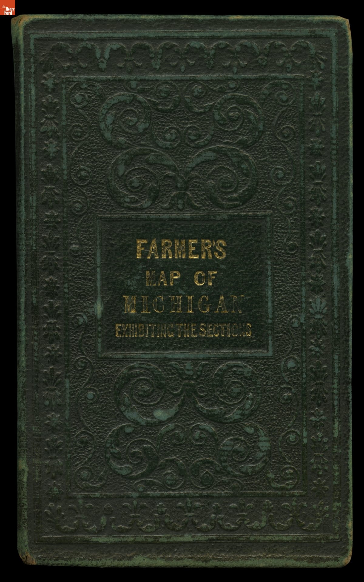
- Farmer's Map of Michigan: Exhibiting the Sections, 1837 - This map shows Michigan in 1837, the year the territory achieved statehood. It presents the southern portion of the Lower Peninsula -- where most cities and towns were located at the time -- in detail, while northern areas including the Upper Peninsula are shown in insets. The important area around the Straits of Mackinac has its own inset as well.
- 1837
- Collections - Artifact
Farmer's Map of Michigan: Exhibiting the Sections, 1837
This map shows Michigan in 1837, the year the territory achieved statehood. It presents the southern portion of the Lower Peninsula -- where most cities and towns were located at the time -- in detail, while northern areas including the Upper Peninsula are shown in insets. The important area around the Straits of Mackinac has its own inset as well.