Search
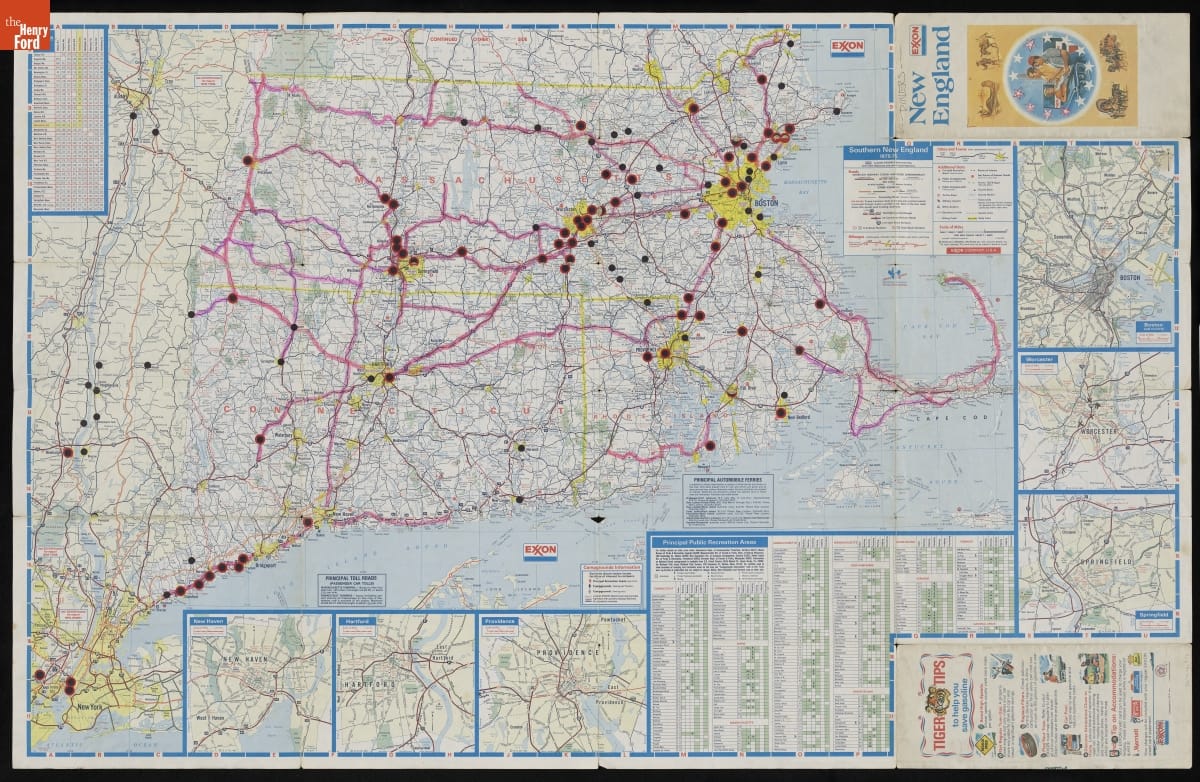
- 1975 New England Road Map with Locations of Diners Indicated -
- 1975
- Collections - Artifact
1975 New England Road Map with Locations of Diners Indicated
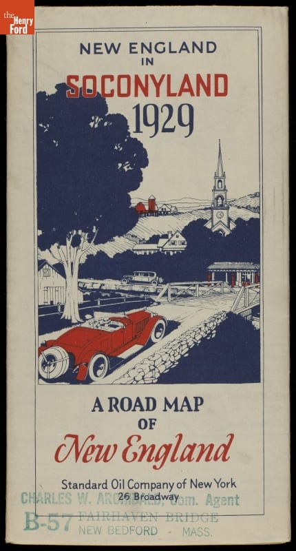
- Road Map, "New England in Soconyland," 1929 - After the federal government established a system of numbered and marked highways in 1926, road maps became more popular. As oil companies competed fiercely for motorists' business at roadside service stations, handing out free road maps became a way to ensure customer loyalty. This map was produced and distributed by the Standard Oil Company of New York.
- 1929
- Collections - Artifact
Road Map, "New England in Soconyland," 1929
After the federal government established a system of numbered and marked highways in 1926, road maps became more popular. As oil companies competed fiercely for motorists' business at roadside service stations, handing out free road maps became a way to ensure customer loyalty. This map was produced and distributed by the Standard Oil Company of New York.
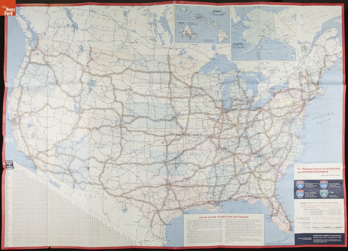
- "The National System of Interstate and Defense Highways," 1964 - The Interstate Highway System includes more than 48,000 miles of controlled-access roadways spanning the United States. Championed by President Dwight D. Eisenhower, the system was authorized by the Federal-Aid Highway Act of 1956. The network as originally envisioned was completed in 1992, but expansions continue. It remains the largest public works project in history.
- 1964
- Collections - Artifact
"The National System of Interstate and Defense Highways," 1964
The Interstate Highway System includes more than 48,000 miles of controlled-access roadways spanning the United States. Championed by President Dwight D. Eisenhower, the system was authorized by the Federal-Aid Highway Act of 1956. The network as originally envisioned was completed in 1992, but expansions continue. It remains the largest public works project in history.