Search
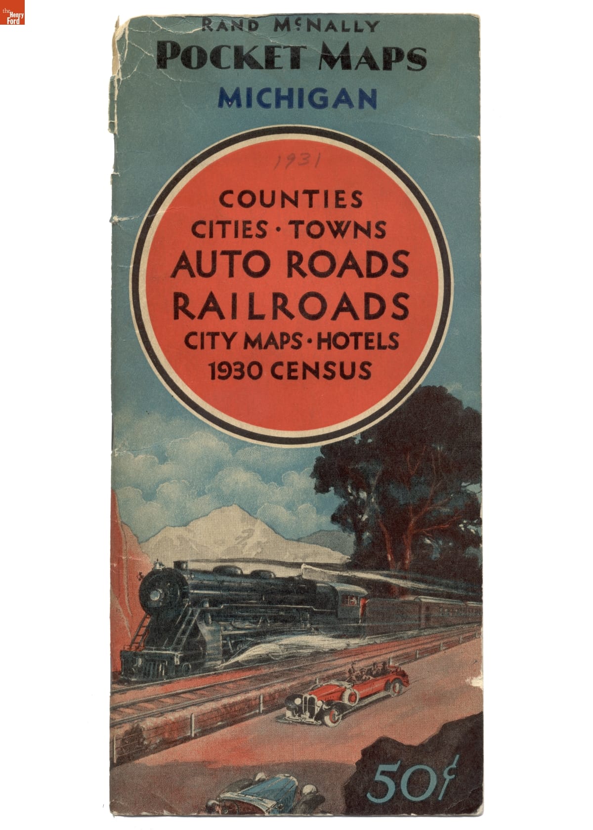
- Rand McNally Pocket Map of Michigan, 1931 - After the federal government established a system of numbered and marked highways in 1926, road maps became more popular. Rand McNally published this pocket map of Michigan's road network in 1931. The map also included railroad lines, hotels, detailed maps of major cities, and population information from the 1930 census.
- 1931
- Collections - Artifact
Rand McNally Pocket Map of Michigan, 1931
After the federal government established a system of numbered and marked highways in 1926, road maps became more popular. Rand McNally published this pocket map of Michigan's road network in 1931. The map also included railroad lines, hotels, detailed maps of major cities, and population information from the 1930 census.
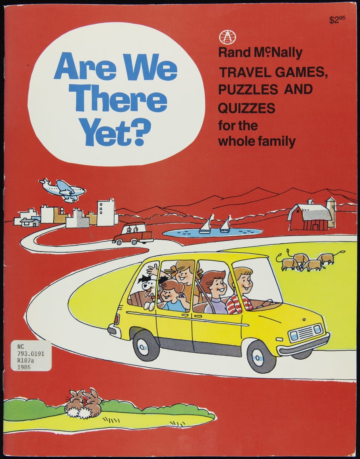
- Are We There Yet?, 1985 - As the interstate highway system expanded and automobiles became more reliable, the distance of the average automobile trip lengthened. Families traveling long hours looked for ways to occupy restless children while on the road. Rand McNally, a company known for its road maps and atlases, produced this book of family-oriented games, puzzles, and quizzes in the 1980s.
- 1985
- Collections - Artifact
Are We There Yet?, 1985
As the interstate highway system expanded and automobiles became more reliable, the distance of the average automobile trip lengthened. Families traveling long hours looked for ways to occupy restless children while on the road. Rand McNally, a company known for its road maps and atlases, produced this book of family-oriented games, puzzles, and quizzes in the 1980s.