Map of Canals and Railroads in Pennsylvania, circa 1837
THF203872 / Map of Canals and Railroads in Pennsylvania, circa 1837
01
Artifact Overview
This copperplate engraving illustrates the travel and transportation system of Pennsylvania about 1836-1838. The map shows the railroads, large and small roads, and canals that crisscrossed the landscape.
Artifact Details
Artifact
Print (Visual work)
Subject Date
1836-1838
Creator Notes
Engraved by J. Yeager; published by S.C. Atkinson.
Collection Title
Location
Not on exhibit to the public.
Object ID
82.129.784
Credit
From the Collections of The Henry Ford.
Material
Paper (Fiber product)
Technique
Copper engraving (Printing process)
Color
Multicolored
Dimensions
Height: 9 in
Width: 11.5 in
Keywords |
|---|
02
Related Content
 Set
SetThe Pennsylvania Turnpike
- 21 Artifacts
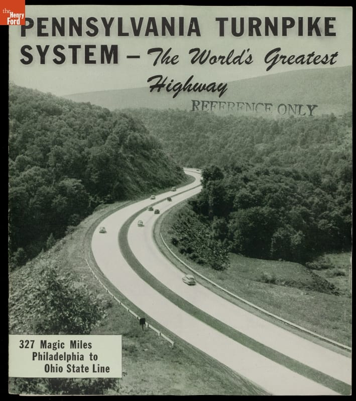
Opened in 1940, the Pennsylvania Turnpike was the prototype for modern limited-access American highways. Financed by user tolls, the turnpike initially ran 160 miles across the Keystone State, connecting Harrisburg with Pittsburgh. It was soon extended 100 miles east to Philadelphia. Drivers appreciated the smooth pavement, gentle curves, and lack of stoplights. The turnpike became a tourist attraction in its own right. Set
SetAmerica's Canal Era
- 34 Artifacts
In the early 19th century, Americans looked to canals for transportation. Artificial waterways carried people and goods over long distances with minimal power, extending water-borne commerce from seaports to inland communities. But canals were expensive to build and maintain, and floods, droughts and freezing weather interfered with operations. Railroads offered a better alternative and brought an end to America's canal era.