Map of the Stout Air Services' Detroit-to-Cleveland Air Route, circa 1928
THF125982 / Map of the Stout Air Services' Detroit-to-Cleveland Air Route, circa 1928
01
Artifact Overview
Stout Air Services offered scheduled passenger flights between Detroit and Cleveland in the late 1920s. The travel time was 100 minutes. Instead of flying directly across Lake Erie, pilots took the overland route seen on this map. This routing allowed pilots to navigate by visible landmarks and gave them places to land in the event of an emergency.
Artifact Details
Artifact
Map (Document)
Date Made
circa 1928
Subject Date
circa 1928
Creators
Place of Creation
Collection Title
Location
Not on exhibit to the public.
Object ID
2014.29.2
Credit
From the Collections of The Henry Ford. Gift of Edsel B. Ford II.
Material
Paper (Fiber product)
Technique
Printing (Process)
Color
Red
Black-and-white (Colors)
Dimensions
Height: 8.500 in (Folded)
Width: 3.688 in (Folded)
Height: 16.876 in (Unfolded)
Width: 21.938 in (Unfolded)
Keywords |
|---|
02
Related Content
 Set
SetFord Tri-Motor: Passenger Travel
- 16 Artifacts
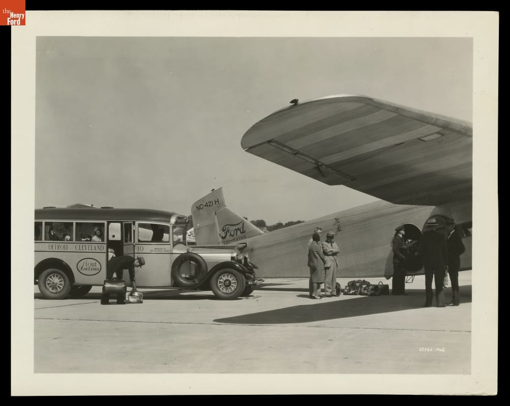
Stout Air Lines advertised direct airplane service between Detroit and Cleveland, but this wasn't strictly true. Stout's "Detroit" terminal was, in fact, Ford Airport in Dearborn, ten miles west of the city. Passengers gathered at a station in Detroit and were shuttled by bus to the Dearborn airport where they boarded the actual plane.