"Strip Map of Lincoln Highway," 1929
THF202537 / "Strip Map of Lincoln Highway," 1929
01
Artifact Overview
The Lincoln Highway, dedicated in 1913, ran from New York City to San Francisco, California. It was America's first cross-country highway. Using limited funds, it was mostly a patched-together series of existing dirt roads. But the publicity it generated raised public awareness of the need for better roads. Texaco included travel tips with this pocket map they published in 1929.
Artifact Details
Artifact
Strip map
Date Made
1929
Subject Date
1929
Creators
Creator Notes
Published by Rand McNally and Company.
Collection Title
Location
Not on exhibit to the public.
Object ID
87.135.574
Credit
From the Collections of The Henry Ford. Gift of the Automobile Club of Michigan.
Material
Paper (Fiber product)
Color
Multicolored
Dimensions
Height: 2.25 in
Width: 4.938 in
Thickness: 0.125 in
Keywords |
|---|
02
Related Content
 Set
SetFunding the Interstate Highway System
- 25 Artifacts
The 48,000-mile Interstate Highway System connects all corners of the United States with high-speed, limited-access roadways. Funding for new construction and ongoing maintenance comes from taxes on vehicles, tires, and -- mostly -- fuel. But as cars get more efficient and drivers shift to hybrids and electrics, gas tax revenues get smaller. Highway funds shrink as the costs of caring for an aging system grow.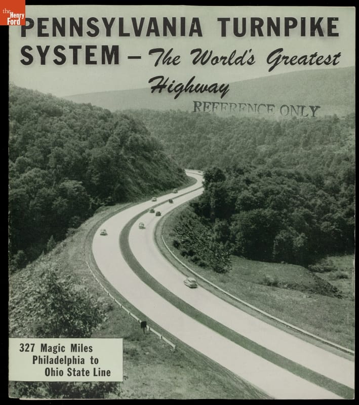 Set
SetThe Pennsylvania Turnpike
- 21 Artifacts
Opened in 1940, the Pennsylvania Turnpike was the prototype for modern limited-access American highways. Financed by user tolls, the turnpike initially ran 160 miles across the Keystone State, connecting Harrisburg with Pittsburgh. It was soon extended 100 miles east to Philadelphia. Drivers appreciated the smooth pavement, gentle curves, and lack of stoplights. The turnpike became a tourist attraction in its own right. article
The Federal-Aid Highway Act of 1956
Discover how the program to plan and fund an interstate system, started by the Federal-Aid Highway Act of 1956, changed the American way of life article
Railroads vs. Automobiles: Americans’ Concepts of Time
Railroads and automobiles have shaped American concepts of time in different ways. Discover how these two forms of transportation have impacted our lives.