Antenna Used in the Piccards' Stratospheric Balloon Ascension, 1934
THF155562 / Antenna Used in the Piccards' Stratospheric Balloon Ascension, 1934
01
Artifact Overview
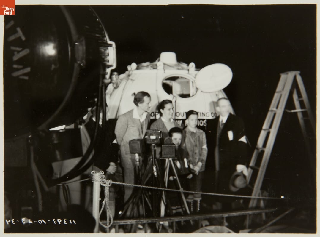
The Piccard stratosphere flight departed Ford Airport field on October 23, 1934. Spouses Jean and Jeannette Piccard ascended 10.9 miles in a metal gondola carried by a hydrogen balloon. To maintain ground communication, William Duckwitz built a radio transceiver and antenna, installing it in the "radio car" trailing the flight. Duckwitz's call sign, W8CJT, is burned into its base.
Artifact Details
Artifact
Antenna
Date Made
1934
Subject Date
23 October 1934
Place of Creation
Creator Notes
Made by Ford employees William Gassett, assisted by William Duckwitz on behalf of Ford Motor Company.
Location
Not on exhibit to the public.
Object ID
62.48.2
Credit
From the Collections of The Henry Ford. Gift of William M. Duckwitz.
Material
Copper (Metal)
Porcelain (Material)
Wood (Plant material)
Dimensions
Height: 5 in
Width: 4 in
Length: 31 in
Inscriptions
on board:
W8CJT
Keywords |
|---|
02
Related Content
 Set
SetA Flight of Firsts: The Piccard Stratosphere Ascension
- 16 Artifacts
In October 1934, Jean and Jeannette Piccard set a new altitude record, ascending 10.9 miles in a metal gondola carried by a hydrogen balloon. Jeannette -- the first American woman licensed as a balloonist -- piloted, while Jean gathered scientific data. On this historic flight, Jeannette became the first woman to reach the stratosphere. Set
SetAir-to-Ground Communication
- 10 Artifacts
During his polar expeditions, Richard E. Byrd relied on navigational instruments not much changed in 200 years. Byrd's sextant measured the angle between an astronomical object -- the Sun or a star -- and the horizon. Based on the time of day it was measured, this angle was used to determine Byrd's position on a navigational chart.